
The weather in Austria will remain changeable and mild over the weekend. However, Geosphere Austria issued a weather warning for snowfall in some regions on Friday.
All about the weather in Vienna
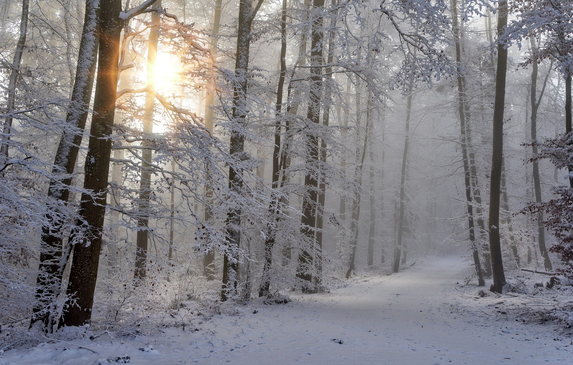
According to a statement, fresh snow is expected down to low altitudes, which could cause problems on the roads and rail connections.
Cold front reaches Austria on Friday: weather warning
The weather warning was triggered by a cold front reaching Austria on Friday. The focus of the precipitation, with rain and snow, is expected on the southern side of the Alps between the Brenner Pass and Upper Carinthia. The snow line will drop to 600 meters along the northern side of the Alps, and with heavy precipitation in the southwest, it will be between 1,000 and 1,500 meters above sea level. The wind will initially be brisk from the west to the east. Otherwise, weak to moderate winds will blow from the southeast to southwest during the day. Early temperatures will range from one to eight degrees, and daytime highs from two to twelve degrees.
Saturday will be mostly sunny
On Saturday, residual clouds will initially persist. During the day, however, sunny weather prevails in most regions of Austria, and only harmless patches of cloud drift across the sky. Only in the southern congested areas in the southwest will it remain rather cloudy, and showers will continue to occur here. The snow line will be between 700 and 1,000 meters above sea level. The wind will be rather weak in the lowlands, while there will again be a partly brisk and foehn-like southerly wind in the mountains. Early temperatures will range from minus two to plus five degrees, with daytime highs of seven to 15 degrees.
Temporary calming of the weather on Sunday
In large parts of Austria, Sunday will temporarily calm the weather. Besides local fog patches in the morning, it will be mostly sunny with high cloud fibers during the day. Remnants of disturbances in the form of denser clouds and a few raindrops, as well as snowflakes above 1,200 meters above sea level, will persist on the southern side of the Alps between Silvretta and Upper Carinthia. The clouds will only thicken again from the west towards the Tyrolean Oberland towards the evening. With the lower air pressure on the northern side of the Alps, a strong southerly foehn will blow in places, and the wind will also freshen up briskly from southerly directions on the eastern edge of the Alps. Depending on the wind, early temperatures will be minus three to plus four degrees, with daytime highs of seven to 14 degrees, even milder in foehn locations.
New week starts changeable but mild
A low-pressure complex over Central and Western Europe will continue dominating the Eastern Alps weather on Monday. During the day, a low-pressure center will establish itself over southern Bavaria and Salzburg. As a result, the clouds will thicken throughout Austria, most recently also in the east. Rain and snowfall above 1,000 to 1,400 meters above sea level will set in in the south of the Alps and later also in the west. As a result, the Föhn will also break down west of the Tauern, while east of it, the Föhn and the lively south wind on the eastern edge of the Alps will intensify with the pressure difference. Early temperatures of minus four to plus three degrees will be followed by seven to 14 degrees highs.
The influence of low pressure in the eastern Alps will continue on Tuesday, with a shallow low-pressure center over Italy affecting the weather in Austria. It will be cloudy all day, with frequent rain and snow, especially in the east and south. The precipitation will continue to increase in the south until the evening and will be heavy here. A few drops can also be expected in the north of the Alps towards the evening. Snowfall limits vary greatly, up to 800 meters in the west, around 1,200 meters in the south and around 1,600 meters above sea level on the eastern edge of the Alps. Overall, it will be light or moderately windy. Early temperatures will range from minus one to plus six degrees, with daytime highs of five to twelve degrees.
- source: APA/picture: pixabay.com