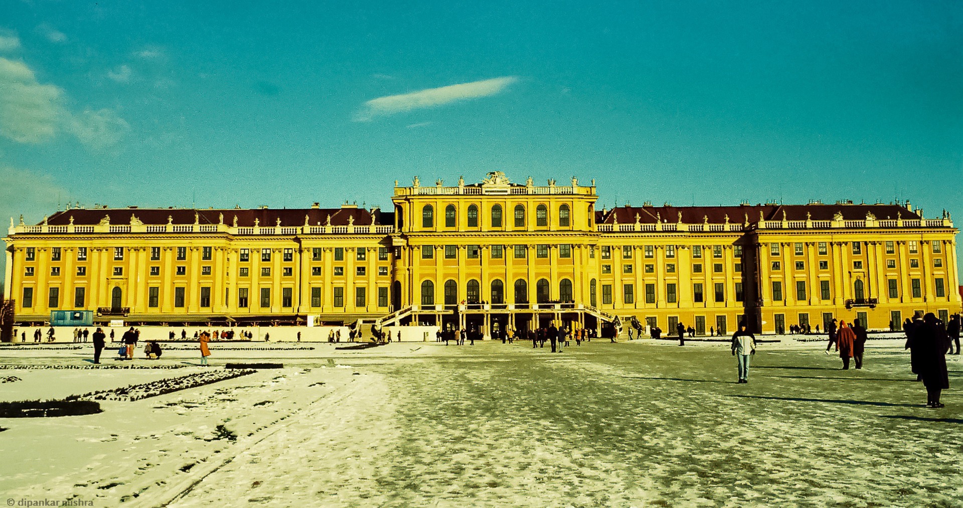
The onset of winter continues and intensifies. Fresh snow is expected throughout the East, hitting the Vienna Woods region especially hard.
On Sunday, a low-pressure system passing to the northeast will bring fresh snow, especially in the East and north. Already out of the night, however, heavy snowfall will start in the East. Several centimetres of fresh snow can be expected up to the lowlands in the afternoon and evening and then widespread in the north of the country and Upper Austria.
“Temporarily, it will also snow heavily, with the focus likely to be in the Vienna Woods,” forecasts Manfred Spatzierer, chief meteorologist of the Austrian Severe Weather Center (www.uwz.at). In total, up to 15 cm of fresh snow will accumulate here, but also, in the east and southeast, 5 cm will be widespread.
The UW meteorologists have, therefore, already issued snow warnings (orange). Due to the aggravated situation in the Vienna Woods, Klosterneuburg and the west of Vienna are at warning level red!
On Monday, dense clouds will persist, and snowfall will spread from the south during the day, especially over the eastern half and into the central mountainous region. Especially in Lower Carinthia and Western Styria, it will snow persistently and heavily, and from the Graz Basin eastwards, the rain will gradually mix in. In the west, only a few flakes will fall, and the sun will show up, most likely in Vorarlberg from time to time. A brisk to solid north wind will blow on the eastern edge of the Alps. The highs will be between -3 and +5 degrees.
From the night to Tuesday, it will snow from the Tyrolean lowlands to the eastern edge of the Alps and south of it, still partly heavy, especially from the Koralpe to the Niedere Tauern. There will continue to be quite a bit of fresh snow. The wind will blow moderately from northerly directions in the East.
Tuesday will offer a few hours of sunshine in Vorarlberg and Tyrol; further east, clouds will dominate, and it will snow again and again, at least lightly, in the area of the Koralpe and Packalpe also heavily. In the East and southeast lowlands, however, the snowfall will increasingly turn into rain; by the evening, it will dry up. The wind will blow briskly from north to northwest, especially on the eastern edge of the Alps.
- source: heute.at/picture: Bild von Dipankar Mishra auf Pixabay
This post has already been read 2497 times!


