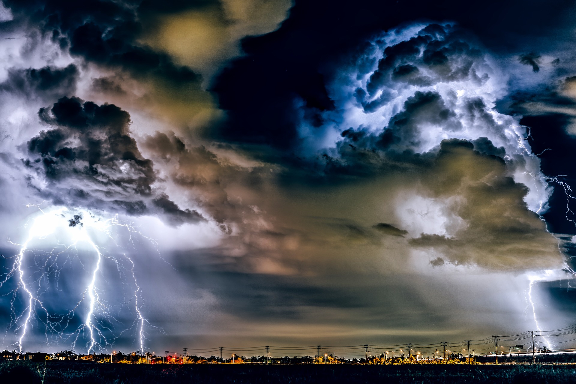
A heat wave is rolling over Austria in the next few days, with temperatures rising to 37 degrees. However, thunderstorms are also to be expected.
With a westerly high-altitude current, subtropical and increasingly sultry air reaches the Alpine region. Showers and local heat thunderstorms will be limited to the mountains on Tuesday. From midweek, the risk of thunderstorms will increase significantly, with some severe thunderstorms also developing in the lowlands.
On Tuesday, a relatively lovely mix of sun and mostly harmless veil clouds will dominate; only on the northern side of the Alps can the clouds be somewhat more compact initially. From the morning on, more spring clouds will form over the mountains and in the afternoon, especially from the Arlberg to Upper Styria, local heat thunderstorms are to be expected, some of them strong, but mostly it will remain dry. In the east, moderate southeast wind, maximum of 28 to 35 degrees.
Wednesday will begin with more clouds in the north and east and isolated showers or thunderstorms out of the night. During the day, a primarily lovely mix of sun and clouds will initially dominate, but over the mountains, spring clouds will quickly make themselves known again and, from noon on, thunderstorms, some of them heavy. During the afternoon, these may also reach the lowlands and hills. The wind blows away from the thunderstorms generally only weak to moderate, maximum of 28 to 34 degrees.
Up to 37 degrees, then heavy thunderstorms in the lowlands
On Thursday, the day will be mostly sunny and dry. During the day, the sun will often shine with harmless clouds. In the mountains, however, individual thunderstorms, some of them heavy, will make themselves felt again in the afternoon. Away from the mountains, it will remain predominantly dry during the day, but towards evening the risk of thunderstorms will increase significantly from Vorarlberg to Upper Austria. Away from the thunderstorms, the wind will mostly not play a significant role; temperatures will rise again, reaching 29 to 37 degrees.
Friday will start from Vorarlberg to northern Upper Styria with partly showery, thundery rain. From Carinthia over southern Styria to the eastern lowlands, the day will start quite friendly, but from noon on, showers and thunderstorms, some of them heavy, are to be expected here as well. From the west, however, the weather will gradually calm down. On the northern side of the Alps, a brisk to strong westerly wind will freshen up—a maximum of 18 to 31 degrees, with the highest values in the extreme southeast.
- Source: heute.at/picture: pixabay.com
This post has already been read 2941 times!


