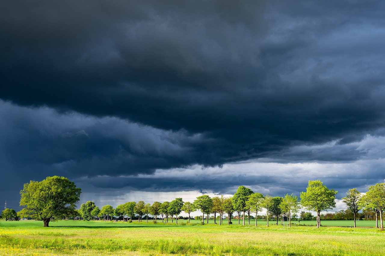
The summer heat is here to stay on Friday. While temperatures will once again reach high levels, the risk of thunderstorms will increase from the afternoon onwards.
Friday will begin with bright sunshine in large parts of Austria, although the northern edge of the Alps may see thicker clouds at the start of the day. After a sunny morning, clouds will quickly develop by midday, and the first showers and thunderstorm cells could develop.
Thunderstorm risk in the mountains
The central and northern mountain regions are particularly affected, where the thunderstorms could spread further and occasionally reach the lowlands in the north and east. However, it will remain predominantly dry and friendly in the country’s south, especially on the southern side of the Alps. The wind will remain weak but may freshen near thunderstorms, mainly from southerly to westerly directions. Temperatures will start at a pleasant 15 to 22 degrees in the early morning hours and rise to a hot 28 to 36 degrees during the day. Once again, the highest temperatures are expected in the country’s east.
The summer heat is here to stay on Friday. While temperatures will once again reach high levels, the risk of thunderstorms will increase from the afternoon onwards.
Friday will begin with bright sunshine in large parts of Austria, although the northern edge of the Alps may see thicker clouds at the start of the day. After a sunny morning, clouds will quickly develop by midday, and the first showers and thunderstorm cells could develop.
Thunderstorm risk in the mountains
The central and northern mountain regions are particularly affected, where the thunderstorms could spread further and occasionally reach the lowlands in the north and east. However, it will remain predominantly dry and friendly in the country’s south, especially on the southern side of the Alps. The wind will remain primarily weak but may freshen near thunderstorms, mainly coming from southerly to westerly directions. Temperatures will start at a pleasant 15 to 22 degrees in the early morning hours and rise to a hot 28 to 36 degrees during the day. Once again, the highest temperatures are expected in the country’s east.
From Sunday, a cold front will spread to Austria
The midsummer weather phase will continue on Friday. In many places, the day will start with sunshine again, with denser clouds moving through on the northern edge of the Alps at first. After a few sunny hours, spring clouds, the first shower, and thunderstorm cells will soon form again from midday and afternoon, spreading over large parts of the central and northern mountains and occasionally moving into the lowlands in the north and east. It should remain largely dry on the southern side of the Alps. The wind will blow weakly, picking up near thunderstorms, mainly from the south to the west. Early temperatures will reach 15 to 22 degrees, daytime highs 28 to 36 degrees, with the hottest temperatures in the east.
North of the main Alpine ridge and in the north, there will be more clouds at the beginning of Saturday, and local showers or thunderstorms will pass through. Otherwise, the day will often start with sunshine. As the day progresses, more cumulus clouds and numerous showers and thunderstorms will develop, which will be locally heavy. Precipitation will be concentrated on the northern side of the Alps and north of it. It should be largely dry in the south and southeast until the evening, with most of the sun shining here. Apart from thunderstorms, the wind will be predominantly weak to moderate, preferably from the southeast to the west. Early temperatures will range from 16 to 22 degrees, with daytime highs from west to east of 24 to 34 degrees.
Significantly cooler air from the west
A cold front will slowly encroach on Austria from the west on Sunday. In the run-up, it will still be sunny and hot, especially in the east and south. However, extensive clouds will quickly appear in the west and partly in the north, bringing heavier thunderstorms. Later in the day, it will also become increasingly unstable further south-east, and the storms that do occur may be heavy again. The initially weak to moderate wind may pick up significantly during thunder, and much cooler air will flow from the west at the rear of the disturbance. Early temperatures will range between 14 and 22 degrees, with daytime highs only around 20 degrees in the far west and up to 32 degrees in the far east.
Clouds in the east and south on Monday
Under the influence of disturbances, some heavier cloud fields will pass through in the east and south on Monday, but it will be more cloudy along the main Alpine ridge and north of it. This is where there will generally be the least sunshine, whereas elsewhere, it will clear up occasionally. Rain showers will fall again and again. In the northern foothills of the Alps, it will rain for more extended periods in some areas, with local thunderstorms most likely in the south-southeast wind, which will be brisk to firm in the mountains and on the eastern edge of the Alps. Otherwise, moderate winds from west to north will prevail, with early morning temperatures of 12 to 20 degrees and daytime highs of 19 to 27 degrees.
A little rain
In the south and southeast, weak low pressure will cause heavier cloud fields on Tuesday. Occasionally, it may also rain a little. Sunshine will dominate everywhere else, and the cumulus clouds that develop during the day will remain mostly harmless. In the Danube region, there will be an occasional brisk easterly wind. Otherwise, the wind will be predominantly weak to moderate from various directions. Early temperatures will be 11 to 18 degrees, and daytime highs will be 21 to 28 degrees.
- sources: diepresse.at/APA/picture:
This post has already been read 5614 times!


