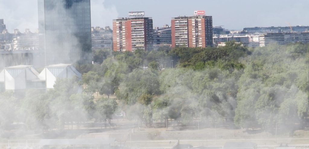
Local or high fog will occur on Friday south of the main Alpine ridge and within the Alps. Away from this, the sun will predominate from the morning. However, dense clouds will continue moving through in the north and east, bringing a few raindrops from Salzburg eastwards and snowflakes above 1,000 meters. It clears up in the afternoon, and the sun appears more frequently. The lowest temperatures will range from minus four to plus six degrees, with daytime highs of five to eleven degrees.
On Saturday, the weather will be calm and sunny under high pressure. Only in the morning will there be local patches of fog, which may be more widespread and persistent in the Danube region. The wind will often blow weakly from different directions during the course of the day. Only in the far east can it freshen up a little. Early temperatures will range from minus five to plus three degrees, with daily maximums of five to 13 degrees, with the west likely to be the warmest.
On Sunday, the high-pressure influence in the eastern Alps will gradually decrease from the north. In addition to local fog patches, the sun will shine widely at first. From midday, the clouds will thicken in the west and north, and the first precipitation will set between Vorarlberg and the Innkreis region in the evening. The snow line will still be between 1,400 and 1,800 meters. The westerly wind will pick up noticeably towards the evening along the northern side of the Alps and in the north-east. Early temperatures will range from minus five degrees to plus two degrees, with daytime highs of five to twelve degrees.
Weak cold front
In the night before Monday, a weak cold front will move across Austria, with only the northern and western parts of the country still experiencing some precipitation during the day. Initially, it will be partly sunny in the east and south before dense clouds spread again from the north to Austria by the evening. Again, there will be a few raindrops in the west and north. The snowfall limits will be between 1,400 and 1,800 meters. A brisk westerly wind will blow in the north, while winds from the south will pick up on the eastern edge of the Alps. Early temperatures will range from minus two to plus five degrees, with daily highs between seven and eleven degrees.
From the west, dense clouds from a prominent disturbance will reach the west and south of Austria on Tuesday; during the day, there will still be no precipitation in large areas. There will be a few sunny spells, especially in the country’s eastern half. It will be foehn-like along the northern side of the Alps; the south wind will blow quite gusty on the east edge of the Alps. Early temperatures: frosty in the south; otherwise, it will be just above zero degrees. Daytime highs will range between seven and eleven degrees, with higher foehn winds.
- source: wetter.at/picture: pixabay.com
This post has already been read 7016 times!


