While some regions will be spoiled by sunshine, others can expect fog and high fog. The forecasts for the coming days provide important clues as to what to expect in the first week of the new year.
Sunshine and patches of fog
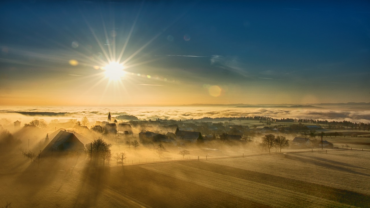
The current weather conditions will remain largely stable until the middle of the week. Especially in regions such as the Rhine Valley (Vorarlberg) and the Innviertel (Upper Austria), fog and high fog patches will dominate the picture. This weather situation also increasingly affects a strip stretching from the Weinviertel (lower Austria) to southern Styria. Here, people have to be prepared for limited visibility and cloudy weather. Despite these fog patches, the sun will shine in many parts of the country. Particularly in mid-mountain areas—for example, at altitudes above the fog—residents will experience temperatures of up to 7 degrees Celsius, which is comparatively mild. On the other hand, the daily permanent grey zones remain significantly colder, especially in lower-lying valleys.
New Year: Clouds in the north, but hardly any precipitation
On 1 January 2025, clouds will increasingly gather in the country’s north. However, these will not bring any major weather changes for now. From Thursday, 2 January, however, the first wind and precipitation events are expected. Significant fresh snow is only expected to fall at higher altitudes above 800 to 1000 meters. However, it will remain dry in the southern and eastern parts of Austria. Rain or snowfall are rare here, as has been the case in recent weeks.
Changeable conditions and cooler temperatures
The first weekend of the new year will slightly drop in temperatures. It will be a little colder in many areas, and the weather will be changeable. The sun will rarely, if ever, make an appearance. This unsettled weather is expected to continue into next week.
Outlook for Epiphany Week
From 6 January, Epiphany, the weather will become increasingly difficult to predict. However, there are initial signs of a phase of cooler winter weather. This could bring occasional light snowfall, especially at higher altitudes.
- source: wetter.at/picture: Image by winterseitler from Pixabay
This post has already been read 3046 times!


