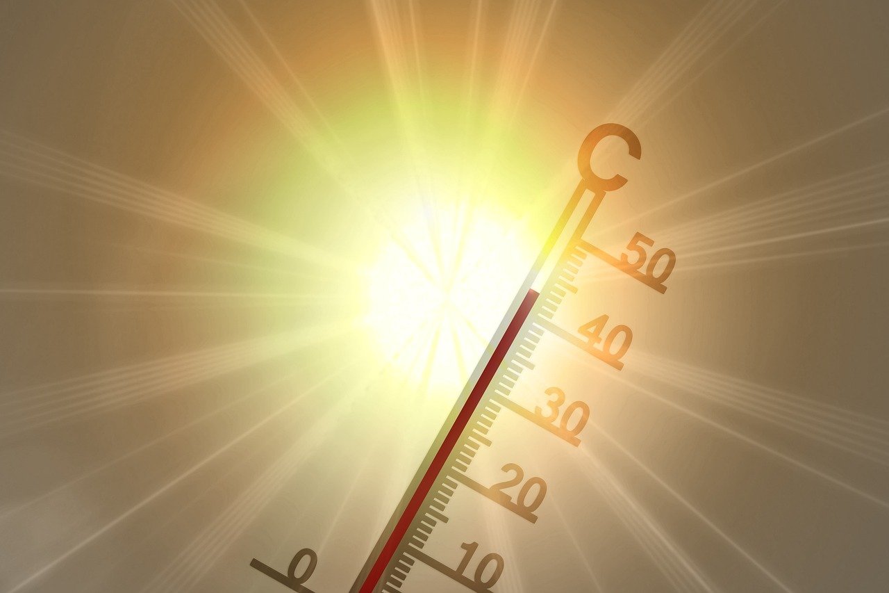
With large parts of Europe already groaning under the heat, Austria is also set to experience hot weather in the coming week. Experts at Geosphere Austria are forecasting temperatures of up to 38 degrees in eastern Austria on Thursday. There is no sign of any cooling off for the time being.
A heat warning is in effect from Wednesday for Vienna, Burgenland, large parts of Lower Austria, Upper Austria, and Styria, as well as the central region of Carinthia, the Tyrolean lowlands, and the Rhine Valley in Vorarlberg. Due to the extreme heat, vulnerable groups of people can expect to experience elevated body temperature, increased heart rate, weakness and fatigue, headaches, muscle cramps, confusion, dizziness, impaired consciousness, nausea, and even vomiting and diarrhoea in the middle of the week.
Those affected should avoid direct sunlight, areas with built-up and sealed surfaces, and refrain from going outdoors during the hottest part of the day. As a general rule, strenuous activity should be avoided, and outdoor physical activity should be postponed until the early morning or evening hours. Light, airy clothing and headgear are strongly recommended. It is essential to drink enough fluids regularly—at least two to three litres per day—ideally water, unsweetened tea, or diluted fruit juices. Alcohol should be avoided.
Sweating begins on Monday.
On Monday, the sky will be clear and very sunny in many places. Some cumulus clouds will form in the morning, especially in the west, but also in the southwest. Rain showers and thunderstorms are expected from midday onwards. In the rest of the country, there will generally be only a few cumulus clouds, and the chance of precipitation will remain very low, especially in the north and east. The wind will be light to moderate, mainly from the north. Early temperatures will range between 12 and 22 degrees, rising to 27 to 34 degrees during the day.
On Tuesday, a few residual clouds from the night may linger, especially in the south, but otherwise sunshine will prevail. In the western and southern parts of the country, cumulus clouds will form quickly and subsequently develop into isolated showers and thunderstorms. In the north and east, however, it will remain sunny for most of the day. Away from thunderstorms, the wind will be light to moderate, blowing from the north to the east. Early morning temperatures will range between 12 and 20 degrees, with highs between 27 and 34 degrees.
On Wednesday, the sun will shine almost everywhere. In the second half of the day, some powerful cumulus clouds will gradually develop over the western mountains, which may eventually produce showers and thunderstorms. In eastern and southeastern Austria, however, it will remain mostly sunny and hot until the evening. The wind will be relatively light, with moderate gusts from the east to south in the eastern lowlands and mountainous regions. Early morning temperatures will reach 13 to 21 degrees, with daytime highs between 29 and 36 degrees.
Thursday is expected to start quite sunny in most parts of Austria, but then become quite sweaty in the east. In the west, on the other hand, the first powerful cumuliform clouds will begin to form around noon, starting in the mountains, followed by the first showers and thunderstorms, especially in Vorarlberg, Tyrol, and Salzburg. These will spread a bit further east and southeast by the evening, although it is likely to remain dry, especially in the eastern lowlands, southern Carinthia, and southeastern Styria. The initially light to moderate wind from the southeast to south will often shift to the west, accompanied by thunderstorms, producing strong gusts locally. Early morning temperatures will range between 15 and 23 degrees. With maximum daytime temperatures ranging from 30 to 38 degrees, the heatwave is expected to reach a new peak, particularly in Vienna, Lower Austria, and Burgenland.
On Friday, very warm but increasingly humid and unstable air masses will continue to spread across Austria. In the western half, there will already be some cloud fields and occasional thunderstorm remnants from the night. During the day, the sun often shines, and the temperature becomes increasingly humid and warm to hot. However, some powerful cumuliform clouds may develop relatively quickly, and the subsequent showers and thunderstorms will ultimately hardly stop over the lowlands and southeastern Austria. Some of these thunderstorms may be pretty severe. Apart from showers or thunderstorms, the wind will be relatively weak, but in the Danube region and northern Burgenland, it will freshen up at times, at least moderately, from the west. Early temperatures: 16 to 26 degrees. The maximum daily temperatures will reach 24 to an unpleasant 36 degrees from northwest to southeast.
- source: APA/picture: pixabay.com
This post has already been read 5569 times!