
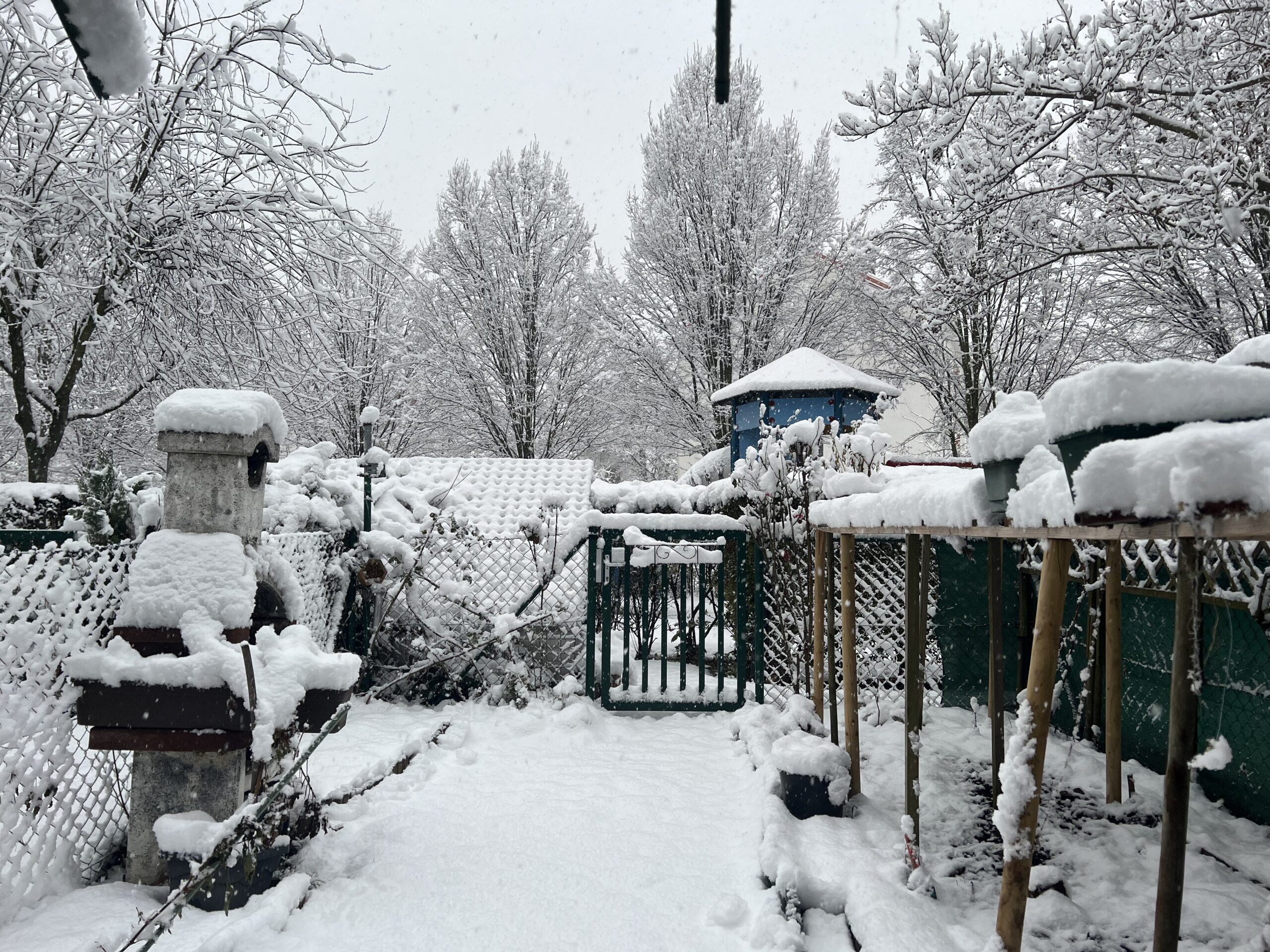
In large parts of Austria it has snowed heavily overnight. Power outbreaks, traffic obstructions and numerous fire department deployments are the result. Michele Salmi, meteorologist of the storm center Ubimet, announced yesterday already: “We are facing the strongest snow event of the past ten years.” An Italian low is responsible for this.
The Austrian Severe Weather Center has already declared the highest weather warning level on Thursday morning due to the heavy snowfall – this affects the provinces of Vorarlberg, Tyrol and Carinthia. In the remaining provinces, the red weather warning level prevails.
The weather models show ten centimeters of fresh snow for downtown Vienna. And that’s not all: up to 30 centimeters are even expected for northern Burgenland, the Weinviertel and the higher regions of Vienna. “We were surprised ourselves, as the model calculations only developed in this direction this morning. Even if there is still some change here, the regions addressed must certainly expect 15 centimeters of new snow during the day,” says Salmi. Postscript: “That’s going to be hefty.”
The culprit is an Italian low that will move across Hungary toward Poland on Thursday, bringing a good load of fresh snow to much of the country. And Ubimet chief meteorologist, Manfred Spatzierer, adds, “Such a striking snow event in the eastern and southeastern lowlands was last seen in the winter of 2012/2013, almost ten years ago.”
70 centimeters of new snow in Carnic Alps
While these snow amounts in the east mean mainly one thing – chaos, the west can look forward to a good base for the Christmas holidays.
In the west, between 30 to 50 centimeters of fresh snow is expected up to 400 to 500 meters. “In the area of the Carnic Alps, that is, to the border with Italy, it could even be 60 to 70 centimeters,” explains the meteorologist. In the Northern Alps, 30 to 50 centimeters are expected. In East Tyrol and the rest of Carinthia, 20 to 40 centimeters.
After a brief calming of the weather on Friday, heavy snowfall temporarily resumes in the west as early as Saturday night, and wintry conditions continue along the northern Alps over the weekend. Here, a few centimeters of fresh snow are added. Large
New snow amounts are not expected according to the current state, however, and in the south, thanks to a strong north foehn, the sun often appears again.
However, temperatures will remain at a wintry level throughout the country. Only in the new week is a slight warming at altitude is likely, while at the same time the tendency for cold and fog-prone inversions in the lowlands of the eastern half increases. The fallen snow could thus persist into the second half of December, not only in the mountains, but also in some lowlands. Especially in the Alps and in the south, this also increases the chance of a white Christmas.
— source: kurier.at/picture:hp
This post has already been read 1722 times!


