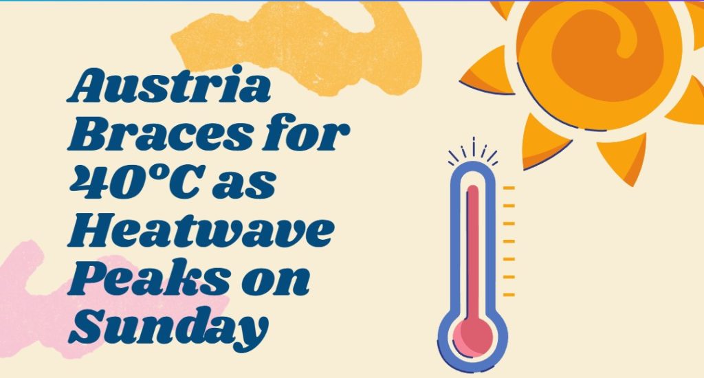
According to the ZAMG forecast, the new week will continue to bring us midsummer temperatures and the risk of thunderstorms. Temperatures are expected to climb to 36 degrees by midweek.
Midsummer is warm to hot and not always sunny – this is how the forecast for next week’s weather in Austria can be summarized. According to the Central Institute for Meteorology and Geodynamics (ZAMG), there is also a high risk of thunderstorms. This is especially true for tomorrow Monday evening and then on Friday from the west.
The new week starts with lots of sunshine – thunderstorms in the evening
Today, Monday, high air pressure and subtropical warm air masses will ensure plenty of sunshine and summery temperatures. While in most parts of the country, the sun will shine mostly from a largely cloudless sky, some spring clouds will form over the Alpine peaks during the day. Especially in Tyrol, Vorarlberg and Salzburg, individual rain showers or thunderstorms may develop until the evening.
The wind will be mostly light, only at the eastern edge of the Alps, also moderate, temporarily even brisk, from directions around the southeast. In the morning, the temperature will range between 14 degrees in higher Alpine valleys and 22 degrees in downtown Vienna until the afternoon highs between 26 degrees in the west and 35 degrees in the east are expected.
Thunderstorm tendency generally high on Tuesday
With a southwesterly flow, unstable air masses from southwestern Europe will reach Austria on Tuesday. With these air masses, spring clouds, rain showers, and thunderstorms will form in the morning. Also, in the afternoon, the tendency for thunderstorms remains generally high. However, the focus of precipitation will shift to the southern side of the Alps.
In the north and east, moderate to brisk westerly winds will temporarily freshen up during the morning hours. Apart from that, a moderate southeast wind will blow at the edge of the Alps. 15 to 23 degrees are expected in the morning and 25 to 33 degrees during the day.
Heat continues Up to 36 degrees on Wednesday’s forecast
For the western half of Austria, quite unsettled weather is forecast for the middle of the week, with variable and partly heavy clouds, some rain showers, and also thunderstorms are to be expected. Towards the east and southeast, the sun will shine much more frequently, regionally also almost without interruption. During the day, only isolated showers and thunderstorm cells are expected to form, which may be severe at times.
Apart from thunderstorm gusts, it will be rather light-windy. Only in the east will the wind blow from southeast to south, sometimes moderate to brisk. Early temperatures will range from 15 to 23. Daytime highs vary widely, between 23 and 36 degrees from west to east.
Also, on Thursday hot in some areas
On Thursday, from today’s perspective, large parts of Austria will experience mostly sunny, often midsummer weather, and in some areas, it will again be scorching. Large clouds may form everywhere over the mountains, but the tendency for showers and thunderstorms should decrease significantly compared to the previous days.
The wind will blow weakly to moderately from inconsistent directions. According to the forecast, early temperatures will range from 14 to 23 degrees Celsius, while daytime highs will mostly range from 27 to 33 degrees.
The disturbance zone reaches Austria on Friday
On the other hand, a central disturbance zone will approach from the west on Friday. According to ZAMG, it is not yet possible to estimate how far it will advance eastward during the day. Especially from Vorarlberg to Upper Austria, unsettled weather with showers and some thunderstorms is expected, and the temperatures are declining. In the east and southeast, it will probably remain sunny and hot for a long time before thunderstorm activity possibly also sets in from the evening.
In addition, moderate or brisk southeast to south winds will blow regionally in the run-up to the disturbance, which west winds will replace. Early temperatures are expected to range from 15 to 22. Daytime highs will again vary regionally, from west to east, around 22 to 35 degrees, but locally it may become even hotter.
- source: vienna.at/picture: Bild von Mircea Ploscar auf Pixabay
This post has already been read 1811 times!