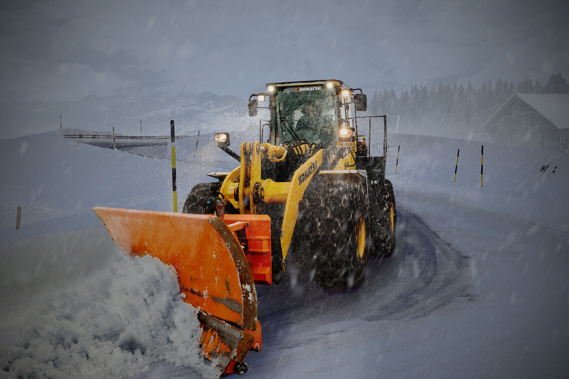
A powerful snow roll will roll over large parts of Austria in the coming days – Vienna will now be transformed into a winter wonderland.
The large-scale weather situation has changed in Austria! Several small-scale low-pressure areas now determine the weather pattern in Central Europe, and due to the inflow of polar cold air, this has also resulted in increased snow down to low altitudes. The first load of fresh snow was on Monday, especially in Carinthia. It has snowed locally up to 50 centimetres, but even in the Klagenfurt basin, 15 to 20 centimetres have fallen. The reason for this was an Italian low.
And there will be more of it shortly. Today, coming from Italy, the next low moves up; during the night, it shifts over the east of Austria and reaches Poland tomorrow. In these hours, new snowfall will start in the south, spreading to the northern side of the Alps in the evening and during the night on Wednesday. In the Rhine Valley, from Linz to Vienna along the Danube, and generally in the east and southeast, the air is still too warm near the ground, here it is only sleet or wet snow at low altitudes, but everywhere else, some fresh snow is on the horizon.
Especially in East Tyrol and Upper Carinthia, one can often expect ten to 15 centimetres. In the Mühl- and Waldviertel, the latest model shows fresh snow amounts of around ten centimetres.
Saturday forecast: currently most probable solution foresees 5 to 10 centimetres of snow even in Vienna and the eastern part of the country.
- source: heute.at/picture: pixabay.com
This post has already been read 1980 times!


