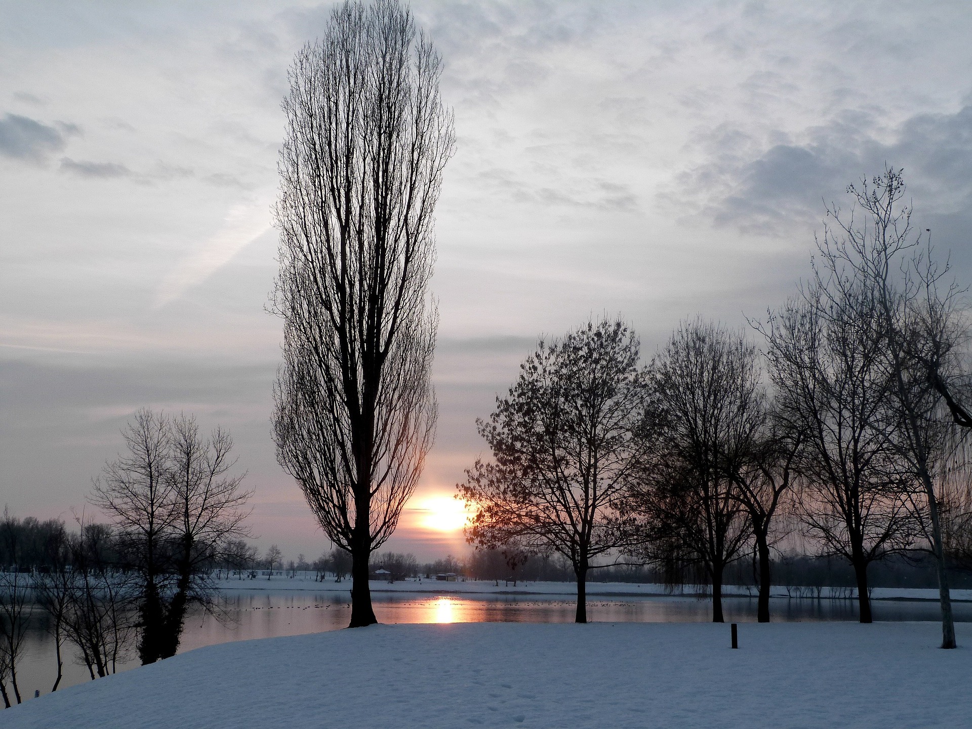
After the severe weather week, it has become calmer. But the clear sky brings the extreme cold. In a community in Lower Austria, -24.7 degrees were measured.
At the start of the semester break in Vienna and Lower Austria, the country experienced a proper cold shock. The widespread frosty temperatures continued the night to Tuesday. Until the morning hours, no measuring station recorded plus degrees. The current weather data of the UWZ show this.
The municipality Schwarzau im Freiwald in the Lower Austrian Waldviertel reached the absolute top for the second time in a row and was by far the coldest place in Austria. On Monday here, chilling -23,4 degrees were measured; on Tuesday, the temperatures sank even deeper.
Minus 24.7 degrees Celsius were registered that night. According to meteorologists at the UWZ storm center, this is the lowest temperature reached in an inhabited place in Austria this winter. A side note comparison: at the Amundsen-Scott station at the South Pole, the temperature is just -33 degrees.
Meanwhile, Vienna weathered the night relatively well, with Mariabrunn, the coldest part of town, at -9.8 degrees. Nowhere else in the federal capital, however, did temperatures slip into the double-digit minus range. However, the situation looked quite different: “Except for Vienna, severe frost with below -10 degrees everywhere,” write the meteorologists of the UWZ in their balance of the “bone-chillingly cold night.”
The municipality of Schwarzau in the district of Gmünd is a special outlier because it is situated in a shallow depression at almost 800 meters above sea level. Due to its geographic location, the icy and, thus, denser air can collect much better here. Meteorologists refer to this as a so-called cold air lake. These form especially on cloudless, windless nights as they are currently prevailing.
The reason for the current cold club is the high blocking Elisabeth and the weak northeast current, which dominate the weather pattern in the Alpine region with cold but mostly dry and sunny conditions. On Tuesday, the high will shift towards the Baltics, but the weather should remain relatively calm in the Alpine region until the weekend.
Tuesday will offer plenty of sunshine after mostly rapid dissipation of regional fog patches. Often this is even unclouded; only now and then, especially in the north and west and especially in the second half of the day, do a few harmless clouds move through. The wind will mostly blow weakly from north to east, and with -4 to +3 degrees, it will remain cold.
Today, Wednesday, it will start sunny in the mountains, in the lowlands and valleys, increasingly with fog or high fog. Mostly the dull gray will dissipate in the morning, but from the Klagenfurt basin to Burgenland, the high fog-like clouds often prove to be persistent, and some snow drizzle will fall from them. The wind will be mostly light to moderate from easterly directions in the Innviertel, sometimes brisk. Highs will range between -4 and +3 degrees.
On Thursday, the calm and friendly winter weather will continue. Initially, high fog will persist in some areas, but sunshine will dominate with, at most, thin veil clouds after its dissolution. With light to moderate winds from the east to southeast, highs will range between -4 degrees in the inner alpine valleys and up to +5 degrees in the north and east.
Source: heute.at/picture: Bild von Eelffica auf Pixabay
This post has already been read 2343 times!


