
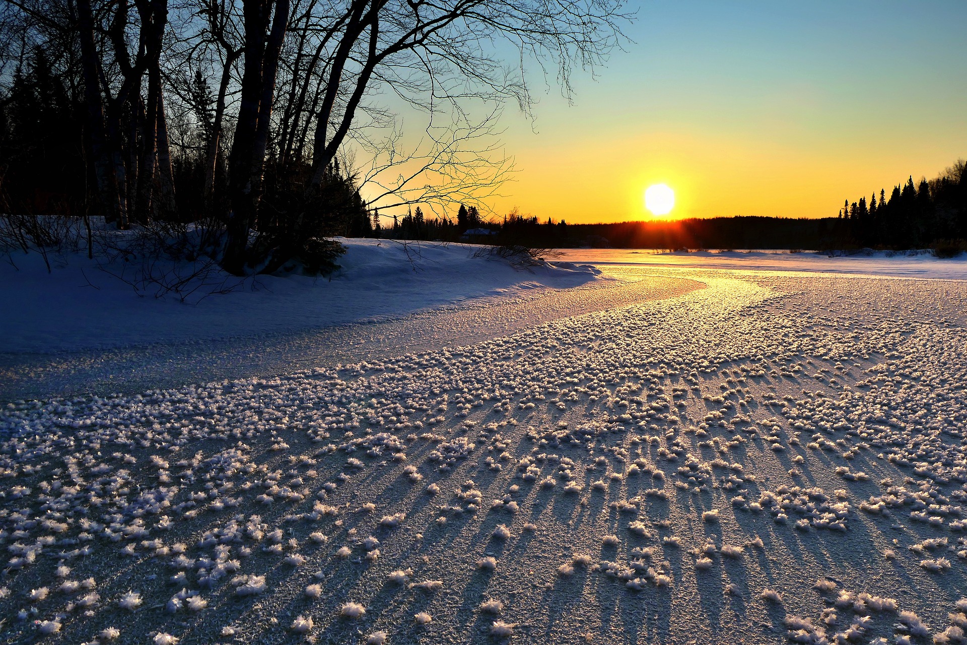
Winter is making its return in many parts of Austria this weekend. A cold front brings not only hard and wet weather but also snow.
Friday will start with a few hours of sunshine, but more and more clouds will move in from the north and southwest during the day. There will be rain showers, especially in the country’s northern half.
In the south, it will remain largely dry on Friday
The area between the Inn and Waldviertel will be particularly affected. The snow line will continue to move between 1,300 and 1,700 meters on Friday. In the south, it will remain largely dry on Friday. Winds will be light to moderate. Early temperatures will range from minus two to plus six degrees, with daytime highs ranging from eight to 15 degrees.
Winter returns: Cold front moves over Austria
On Saturday, a cold front will pass over Austria. Especially in the morning, dense clouds will persist throughout the country. On the northern side of the Alps, it will rain or snow; otherwise, it will remain rather showers. In the afternoon, the precipitation tends to decrease. The snow line will drop to 1,000 to 500 meters in the day. Especially in Upper and Lower Austria, the wind will freshen up briskly to strongly. In the morning, temperatures around freezing point up to six degrees are expected; during the day, the thermometer climbs to four to eleven degrees. However, it will cool down further from the north in the afternoon.
Light snowfall on Sunday
On Sunday, there will be heavy clouds, especially along the northern side of the Alps and light snowfall again and again, especially in the congested areas. According to Geosphere Austria, the sun will mostly appear only in between. It will remain dry in the south, where there will also be the longest sunshine. The wind blows partly briskly from the northern directions. Early temperatures will be minus five to zero degrees; daytime highs will be zero to plus seven degrees. It will be warmest in East Tyrol.
Clouds predominate at the beginning of the week.
At the beginning of the week, clouds will predominate most of the country. Only in the afternoon will there be more clouds. In the northern backwater of the Alps, but also the southern mountain regions, it may snow lightly at times. Otherwise, it will be largely dry. The wind will blow moderately to briskly from north to east. In the morning, temperatures will range from minus seven to minus one degree. During the day, they climb to a maximum of minus two to plus five degrees.
On Tuesday, according to the forecast, dense clouds will persist. Otherwise, however, sunshine will prevail more and more often. The wind will be light. The early temperatures will be between minus twelve and minus two degrees, and the daily highs will be between one and six degrees.
- Source: vienna.at/picture: Bild von Alain Audet auf Pixabay
This post has already been read 2647 times!


