
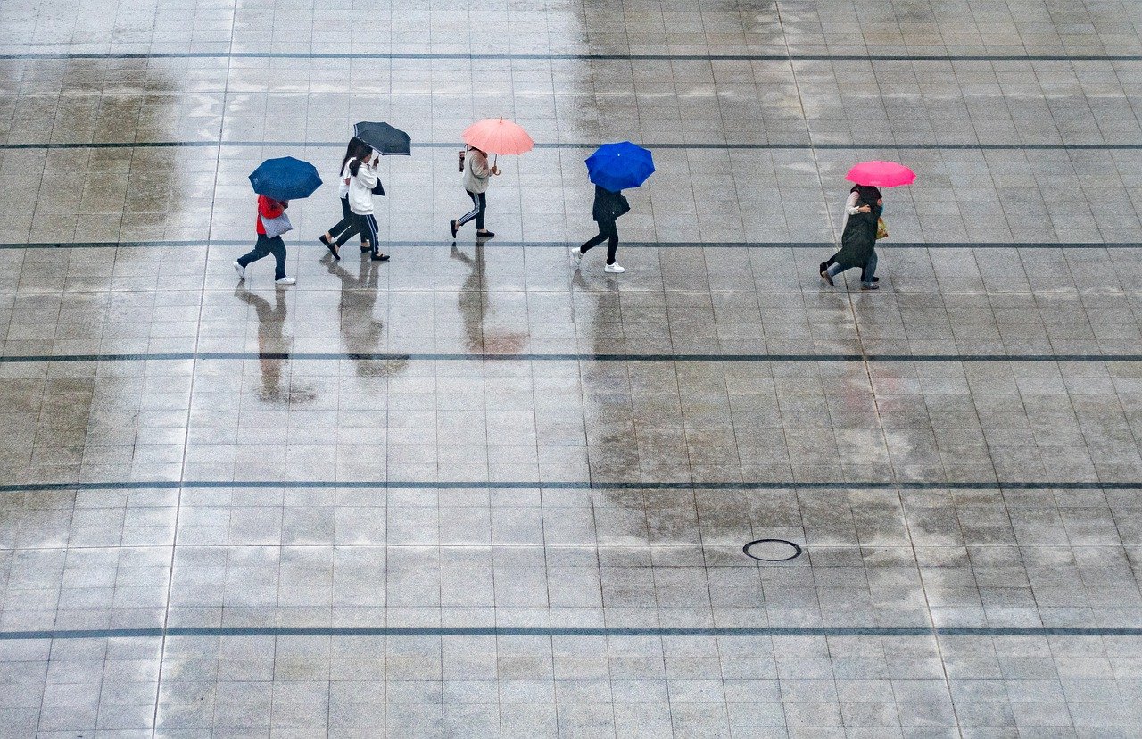
Without an umbrella, you should not leave your four walls on Tuesday. In places, it is pouring rain.
The “Jan” low-pressure area’s cold front is already moving eastward on Tuesday, and a new intermediate high-pressure system is developing over southwestern Europe. Thus, the weather temporarily calms down; it becomes late summer again. The next low-pressure system is expected to arrive on Friday.
On Tuesday, widespread rain showers will fall. While it will dry up from Upper Austria to northern Burgenland during the day, the showers will retreat to the mountains and the southeast. The sun will likely break through intermittently in Vorarlberg, Tyrol, and the Waldviertel. Highs between 18 and 26 degrees with a brisk westerly wind in the north and east during the day. In the evening, the wind will die down.
Wednesday starts with some fog patches and in the mountains with high fog residual clouds; away from them, it is mostly sunny. From the morning on, a friendly sun-cloud mix will set in nationwide; at most, over the Carnic Alps and Karawanken, there will be a slight chance of showers in the afternoon. The wind will shift from west to south to southeast, mainly light to moderate. With 21 to 28 degrees, it will again be warm in late summer.
On Thursday, the sun will often shine on the northern side of the Alps, and in the east, the early morning fog in the predestined valleys will quickly dissipate. Somewhat more persistent are the high fog-like clouds in the south; from the Tyrolean main ridge of the Alps to Upper Carinthia, it will close in, and there will sometimes be a little rain. Temperatures will rise to between 22 and 29 degrees Celsius, with a solid freshening south to southeast wind in some areas.
Friday will start dry and sunny, especially in the country’s eastern half, but rain showers will begin early in the morning from Vorarlberg to Upper Carinthia. These intensify during the day but spread hesitantly to the north and east. The likelihood of showers and thunderstorms will, however, gradually increase in the east as evening approaches. A brisk wind will blow from southern directions; in the Danube region, a westerly breeze will freshen up. 16 to 28 degrees, measured from west to east.
- sources: wetter.at/heute.at/picture: pixabay.com
This post has already been read 2773 times!


