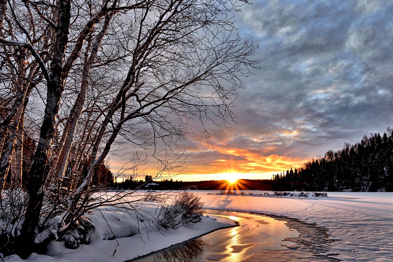
Austria is in for a changeable and early wintery week. According to the Geosphere Austria forecast on Sunday, there will also be milder phases.
Vienna weather
However, temperatures will not reach levels where winter clothing can be dispensed with. Friday could be very wet.
Monday with clouds
In particular, clouds frequently predominate on Monday, with only brief glimpses of the sun. In the south, it may shine a little longer in some areas. Isolated snow, sleet, or rain showers are possible in the north and east, with the snow line typically hovering between 500 and 700 metres above sea level. Towards the evening, rain will also appear in the far west, only snowing above 700 to 1,200 meters. The wind will blow mostly weakly, in places moderately from southerly directions, picking up a little in the mountains. Early temperatures will be between minus six and plus one degree, with daytime highs between zero and six degrees.
A low-pressure system will affect Austria on Tuesday. This means that clouds will predominate, and precipitation is possible, especially along the northern Alps and in the east and southeast. The snow line will be between 900 and 500 metres in the Styrian foothills and the Bregenz Forest. The most precipitation is expected around the Arlberg. From East Tyrol to Lower Carinthia, on the other hand, it will be mostly dry and sunny. The wind will come from westerly directions and be stronger in the west and near the showers. The wind may be strong to gale-force in foehn lines and generally at higher altitudes in the country’s eastern half. Afternoon temperatures will again only reach zero to six degrees.
A cold front is expected to move through as early as Wednesday night. The weather will gradually improve, and the clouds will clear. The sun will eventually shine through. On the northern side of the Alps, however, isolated snow showers are still possible down to lower altitudes, and in the very north, some clouds will pass through again. The initially brisk westerly wind will gradually die down in the north and east and in the eastern mountains; otherwise, it will be lightly windy virtually all day. From minus seven to zero degrees in the morning, temperatures will reach a maximum of zero to five degrees in the afternoon.
Widespread frost after a partly clear night
On Thursday, it will still be frosty in the morning after a partly clear night. On the other hand, the sun will only appear on rare occasions during the day, most likely in the east and south-east at first, and then in places with favourable conditions on the northern side of the Alps. There is a moderately increased risk that a warm front will cause freezing rain in places until the morning. Towards the evening, dense clouds will push in from the southwest, precipitation will set in in East Tyrol and Upper Carinthia, and the snow line may already rise to low mountain ranges. Weak winds will blow, preferably from the south to the south-west, and will only become stronger along foehn lines and in higher mountain regions. Early temperatures will be around minus ten to minus two degrees, with daytime highs usually between minus one and plus seven degrees.
On Friday, the weather in Austria will be dominated by frontal systems of a large-scale low pressure system, with an Adriatic low also likely to be involved. Heavy precipitation is expected in some areas. The snow line, which was initially well above 1,500 metres above sea level in some places, will drop again from the west to higher valley locations. The often dense, multi-layered cloud cover will only occasionally break up a little. The wind near the ground will mostly shift to westerly directions and may temporarily freshen up to strong, especially in the eastern region. It will be minus two to plus eight degrees in the morning and a maximum of three to eight degrees during the day, with temperatures falling during the day.
- sources: APA/vienna.at/picture: Bild von Alain Audet auf Pixabay
This post has already been read 2659 times!


