
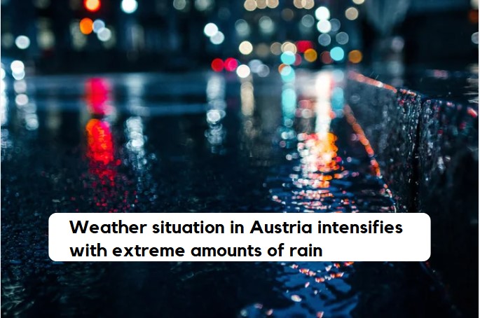
In many regions of Austria, extreme weather conditions are prevailing, with unusually high amounts of rain and snow, which, according to Geosphere Austria, can lead to flooding and mudslides.
Closures due to heavy rain
Geosphere Austria warned on Friday of floods and mudslides due to extreme rain and snow. In higher-altitude regions, snow breakage may lead to issues on transportation routes and power connections. The precipitation shifted from Thursday to Friday from the south to the east of Austria and the northern side of the Alps. The weather situation is attributed to climate warming. Relaxation is only in sight on Tuesday.
The weather situation will only ease starting Tuesday.
On Friday and Saturday, according to Geosphere Austria, it will rain the most in Vienna, Lower Austria, and Burgenland, extending over Upper Austria, most of Salzburg, and Upper Styria down to the Tyrolean lowlands. On Sunday, according to the latest forecast, the rain in western Austria will subside, while it will continue to rain in the north and east, at times heavily. On Monday, the rain will focus on the area from Vienna and Eisenstadt to Salzburg. According to meteorologists, from Friday to Tuesday, most of Austria will see widespread rainfall of 100 to 200 millimeters. One millimeter corresponds to one liter per square meter. In some places, it is also around 300 millimeters or more, especially in the mountainous and hilly regions of Lower and Upper Austria.
Unusual amounts of rain at the beginning of autumn
Such amounts of rain are very unusual. “For example, 100 millimeters of rain within three days occurs statistically every ten years in Vienna, 150 millimeters every 50 years, and 200 millimeters every 150 to 200 years,” said climatologist Alexander Orlik. “On the northern edge of the Alps, heavy rainfall occurs more frequently.” For example, in Waidhofen an der Ybbs, the statistical return period for 100 millimeters of rain in three days is three to four years; for 150 millimeters, it is 15 years; and for 200 millimeters, it is 70 to 75 years.
It is snowing in the mountains for the first time after the heatwave. In total, especially in the area from the Kaiser Mountains to the Hochschwab, one to two meters of new snow will accumulate. From Thursday to Friday, 60 centimeters of snow fell at the weather station Rudolfshütte in the Hohe Tauern (2,320 meters above sea level) within 24 hours. “That is the largest amount of new snow recorded at this weather station in September since measurements began in 1980,” said Orlik. The snow line will be between 800 and 1,200 meters above sea level on Friday and Saturday. In the short term, it can snow in even lower-lying valleys. It will be a bit milder on Sunday, and the snow line will rise slightly. “That the snow remains below 1,000 meters above sea level, as is currently the case in some regions, statistically occurs only every eight to ten years in mid-September,” said climatologist Orlik.
Extreme weather: Warning of storms, flooding, and mudslides
The heavy rainfall expected in the coming days may cause mudslides, flooding, and general road and rail traffic disruptions. Due to the snowfall in higher altitudes, branches may break, and trees may fall, leading to problems on transportation routes and with power lines warned Geosphere Austria. On higher traffic routes, winter conditions can be expected at times.
The wind will be strong to stormy on Friday, Saturday, and Sunday in many regions, especially in the eastern half of Austria. Gusts will reach 80 km/h and even higher in exposed areas and the mountains.
Weather conditions are attributed to climate warming, according to Geosphere.
The large amounts of rain and snow are caused by a weather situation known in technical terms as a Vb weather pattern. A Vb weather situation occurs when a low-pressure area moves from the western Mediterranean over Italy, Austria, and Hungary to Poland. Low-pressure areas bring widespread precipitation to most of Austria. They often cause flooding as well. Low-pressure areas form when cold polar air flows from the north over the Alps and meets the warm air over the Mediterranean.
Vb weather patterns also respond to climate warming. “The number of Vb weather patterns fluctuates greatly; in recent decades, there has been no clear trend in their frequency.” But: “The 50 strongest precipitation events associated with Vb weather patterns in recent decades show an increase in total precipitation of about 20 percent at the northern edge of the Alps, along with a rise in frequency of 13 percent,” explained Marc Olefs, head of climate impact research at Geosphere Austria. “Due to the progression of human-induced climate change, the average position of the polar jet will continue to shift northward, which will disadvantage the formation of Vb weather patterns in the long term.” “On the other hand, a warmer atmosphere increases the capacity to hold water, which can lead to more intense individual events.”
- source: APA/picture: canva.com
This post has already been read 4403 times!


