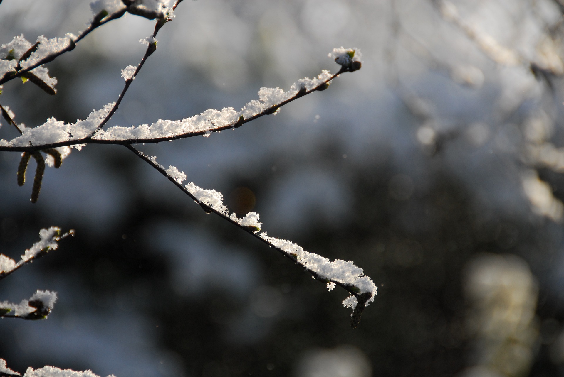
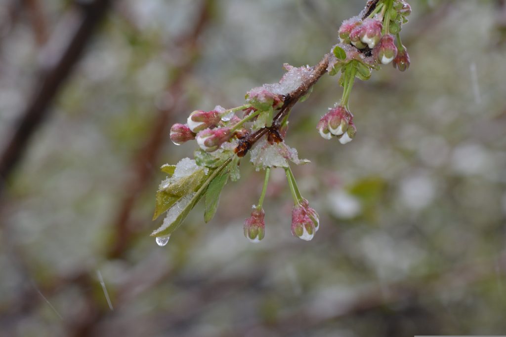
In particular, the northern Alps and the south of Austria can expect wintry conditions. Read here how the weather will develop and where it will be particularly white.
Wednesday: Wintry day with sunshine and snow showers
Wednesday will start with rain and snowfall in the west and south, with the snow line dropping into the lowlands as the day progresses. As the precipitation recedes during the day, sunshine and isolated snow showers will alternate—especially in the mountainous regions. Temperatures between 0 and 7 degrees will be noticeably colder. Stormy westerly winds will remain, especially north of the Alps.
Thursday: Renewed snowfall from the west
On Thursday morning, the sun will shine in many places before dense clouds gather in the west. Light snowfall will set in from midday, spreading eastwards until the evening and slowly increasing in intensity. Temperatures will remain subdued and range between 0 and 7 degrees. The wind, which will still be blowing briskly in the Danube region initially, will ease as the day progresses.
Wintry weekend with cold
Friday will begin with snow in many places, from Carinthia to Styria and the Weinviertel. Winter will be particularly noticeable in the lowlands before the snowfall subsides in the morning. Afterwards, there will be a mix of sun and clouds, with temperatures between -2 and +4 degrees. The moderate to brisk westerly wind will make the weather feel noticeably cooler.
The coming days will bring a clear return of winter to Austria. It will be snowy, especially in the mountains, but also in the valleys and partly in the lowlands. Everyone on the roads should be well prepared—winter tires and weatherproof equipment are strongly recommended!
- source: wetter.at/picture: pixabay.com
This post has already been read 4992 times!


