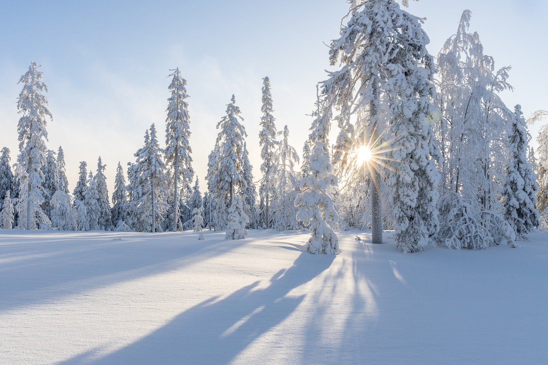
A change in the weather shortly before Christmas will most likely result in snowfall across Austria. This means the chances of a white Christmas are extremely good—even in Vienna.
Chances of a white Christmas are decreasing
Austria has a good chance of a white Christmas this year. As the experts from Geosphere Austria forecast, an area of low pressure will cause snowfall—even heavier—in the west on Monday. On Christmas Eve, Tuesday, there should also be scattered snowfall in the eastern lowlands.
In the first half of Friday, it will be widely cloudy, and snow will fall in some places down to low altitudes, especially in the mountains. Raindrops will also be mixed in around 500 meters above sea level in the north and east. The precipitation will subside in the second half of the day, and the clouds will clear, especially in Upper and Lower Austria. Early temperatures will range from minus three to plus five degrees, with daytime highs of two to eight degrees.
A mild weekend
Local fog patches will persist on Saturday morning; otherwise, the sun will shine widely. Only in the west will fields of cloud pass through. These will spread eastwards as the day progresses, and sunny spells will become rarer, but it will remain sunny in the south and southeast. The wind will blow weakly to moderately in the Vienna Woods, partly briskly from southwest to west. Early temperatures will be between minus seven and plus two degrees, and afternoon temperatures between two and eight degrees.
There will initially be regional clearing south of the main Alpine ridge on Sunday; otherwise, cloudy weather will prevail all day due to disturbances, with sleet and rain during the day and snowfall above 800 meters to 1,100 meters. There is a temporary risk of freezing precipitation on frozen ground between East Tyrol and southern Burgenland and within the Alps. Early temperatures will range from minus eight to plus two degrees, and daytime highs from plus two to six degrees.
Repeated snowfall throughout Austria on Christmas Eve
Under the influence of low pressure, another band of precipitation will reach Austria from the west on Monday, with heavy snowfall along the northern side of the Alps. At low altitudes, the snowfall will partly change to sleet or rain. The precipitation will spread to the eastern edge of the Alps by the evening. Before that, there will be no precipitation in the east and south, and it will be variable to very cloudy. Early temperatures: minus five to plus two degrees; daytime highs: one to six degrees.
On Christmas Eve, on Tuesday, Austria will be caught between a low-pressure complex over the Black Sea and the Aegean and a high center over the Bay of Biscay in a cold, northerly current. This means it will snow repeatedly, especially along the northern side of the Alps between Vorarlberg and the industrial district, with heavy snowfall during the day in the north. Individual snow showers will also fall in the eastern lowlands, especially in the afternoon. Early temperatures will be between minus five and plus one degree Celsius, and maximum temperatures will be between minus two and plus five degrees.
- sourc: APA/picture: pixabay.com
This post has already been read 6443 times!


