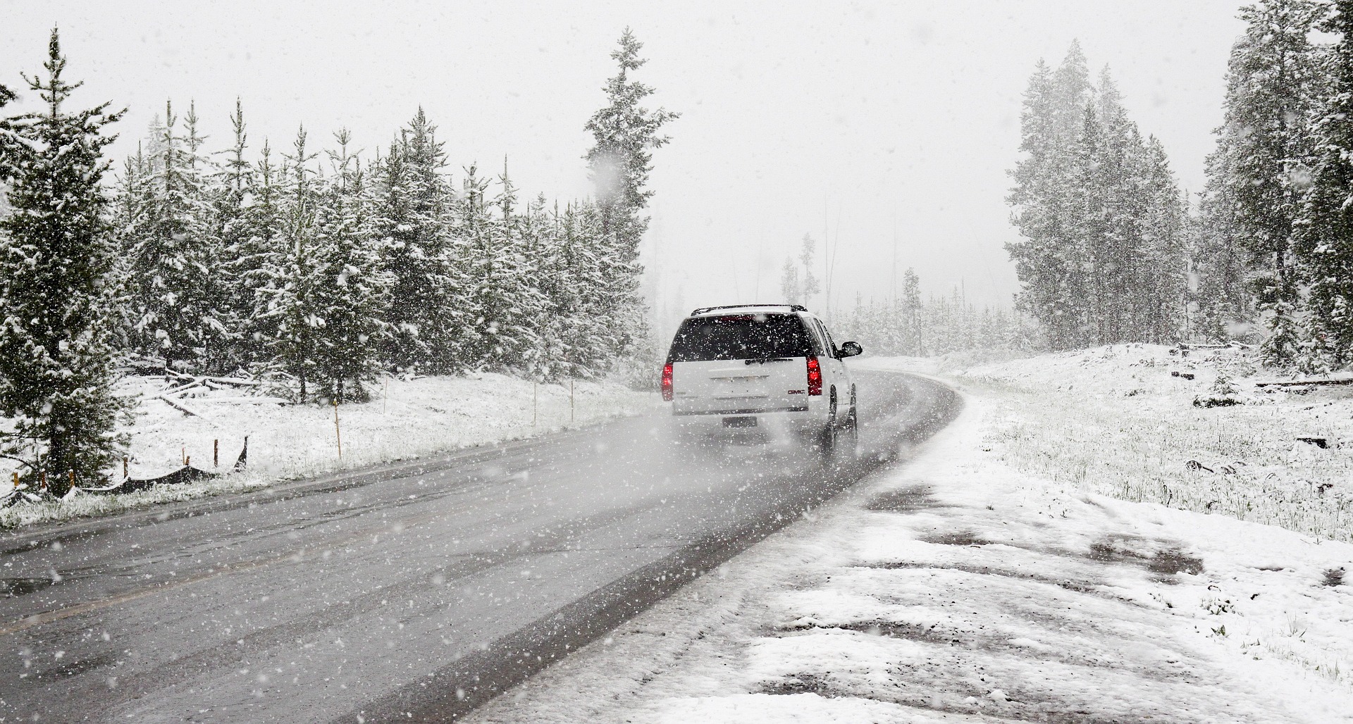
Clouds, precipitation, and black ice are what we can expect across Austria in the coming days. From Thursday, the cold front will bring sub-zero temperatures in places and could bring fresh snow.
Monday will still be mild, with maximum temperatures of up to 16 degrees in the east of the country. The mix of clouds and rain will be particularly noticeable in the south. The snow line will be between 1300 and 1800 meters above sea level. Brisk to strong foehn winds are expected on the northern side of the Alps and in the southeast.
Tuesday morning will remain fairly mild. Dense cloud cover is not expected until the afternoon. Only in the west will the clouds break up a little, and the sun will even break through at times. The snow line will drop to between 400 and 900 meters. Temperatures will be between zero and ten degrees. It will be warmest in the east.
On Wednesday, there is a risk of black ice in places throughout Austria. The mild temperatures and precipitation could lead to freezing rain. If the rain hits the supercooled ground, black ice is inevitable. Temperatures between minus one and plus eight degrees are expected until the afternoon. More sunshine is expected only in the south and southeast.
A heavy cold front will again cause a widespread risk of black ice on Austria’s roads on Thursday. From Salzburg eastwards, repeated sunshine windows will be replaced by low-hanging clouds and precipitation in the late afternoon. The snow line will also reach 1100 meters in the valleys. During the night, the cold front will reach the entire Alpine foothills and the east. Temperatures will be between minus one and plus six degrees.
- source: krone.at/picture: pixabay.com
This post has already been read 3147 times!


