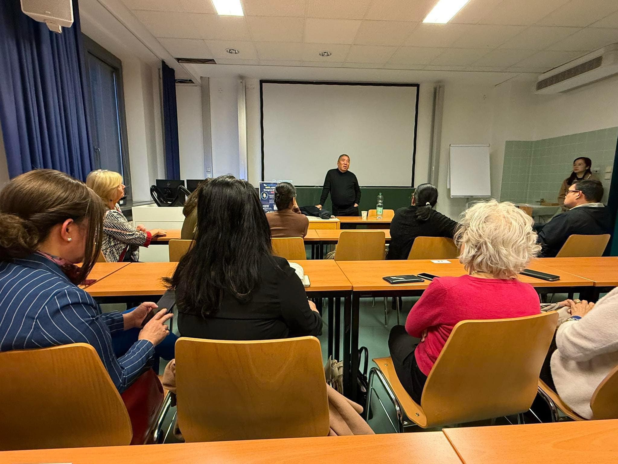
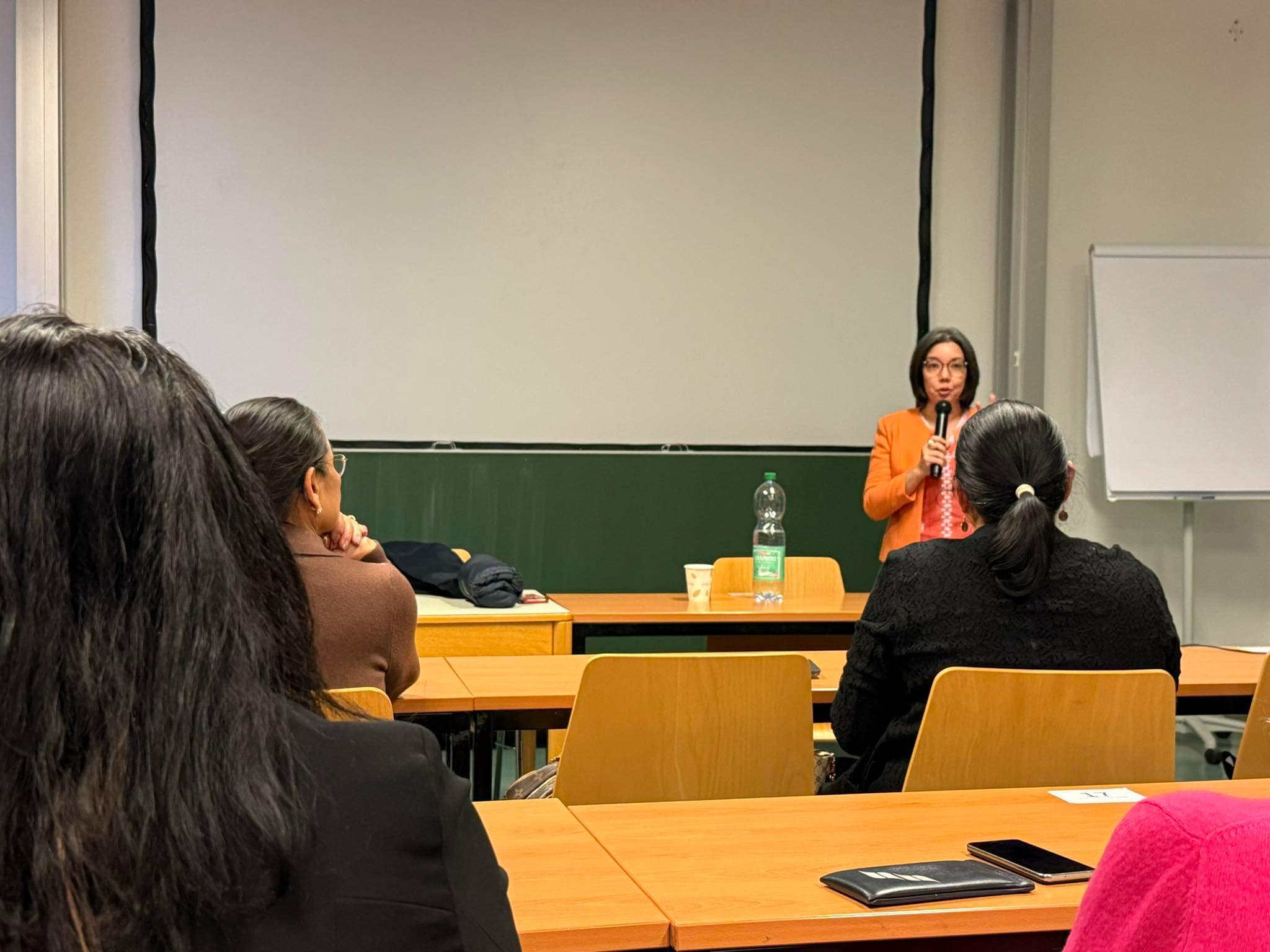
The intersection of history and geography often shapes our understanding of nations and their identities. This was the focal point of a recent lecture delivered by Ambeth Ocampo, a distinguished Philippine historian, as part of his European lecture series. Held on 27 March at the prestigious University of Vienna, Ocampo’s talk, titled “The Philippines, Maps, and the Emergence of the Nation,” captivated attendees with a thoughtful exploration of how cartography influenced the perception and development of the Philippines as a nation.
The Significance of Cartography in Philippine History
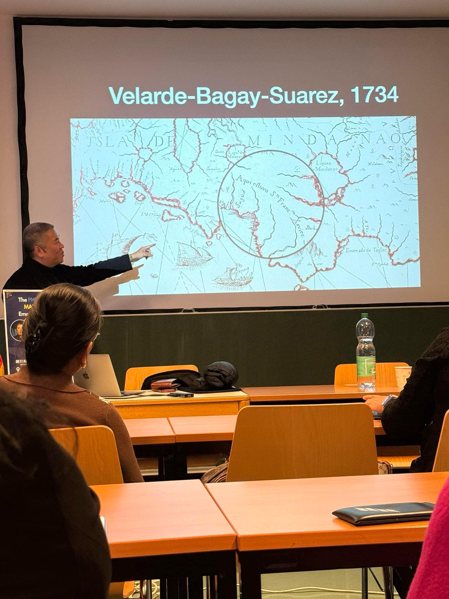
Maps have long served as invaluable tools for navigation, trade, and exploration. In his lecture, Ocampo elucidated how cartography played a pivotal role in the historical narrative of the Philippines from the 16th century to contemporary times. He mentioned the following key points regarding the role of maps:
1. Trade and Commerce: Ocampo highlighted the importance of maps in facilitating trade across the archipelago and with other countries. Early maps not only depicted geographical boundaries but were instrumental in identifying trade routes and resources.
2. Evangelization Efforts: Catholic missionaries used maps to establish and expand their influence in the Philippines. By mapping out regions, they charted their progress in spreading Christianity, marking geographical and spiritual importance.
3. Empire Building: The era of colonialism showcased how empires used maps to stake territorial claims. Ocampo emphasized that maps were not merely representations of land; they were assertions of power and sovereignty.
Through these points, Ocampo illustrated how maps have been central to understanding various socio-political dynamics throughout Philippine history.
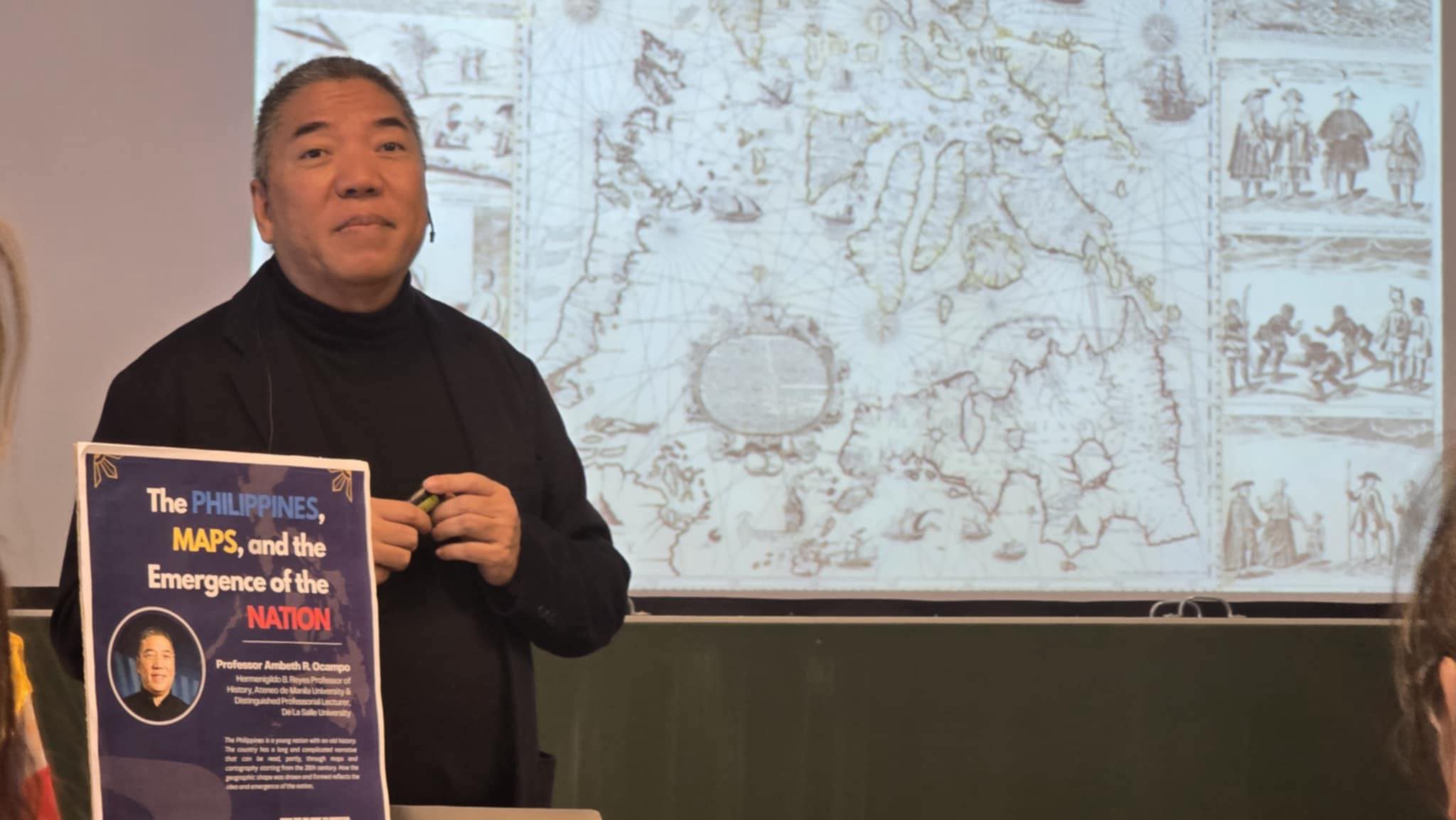
The Evolution of the Philippine Archipelago
One particularly intriguing aspect of Ocampo’s discussion was his elaboration on the famed figure of 7,107 islands commonly associated with the Philippines. This figure, derived from early maps, underwent an update through the Philippine Islands Measurement Project, leading to the current acknowledgment of 7,641 islands. Ocampo explained:
– Historical Context: The 7,107 islands were first recorded in 1901, a figure that encompassed the Philippine identity in maps and discussions about the nation.
– Geographical Updates: The shift to 7,641 islands illustrates the evolution in our understanding of the Philippine archipelago, emphasizing the continuing exploration and reevaluation of geographic data.
This discussion reflects not only the islands’ complexity but also the dynamic nature of national identity as it evolves in tandem with technological advancements in mapping.
Reflecting National Identity Through Maps
One of the concluding themes of Ocampo’s lecture was the assertion that maps reflect national identity. How a nation is represented cartographically can significantly influence its cultural perception, both domestically and internationally. Ocampo pointed out that:
- National Narratives: Maps contribute to a nation’s narrative, establishing boundaries that define where “Filipino” begins and ends.
- Cultural Representation: Including cultural landmarks, historical sites, and resources in maps emphasizes the uniqueness of a nation’s heritage and identity.
- Symbolism of Land: The physical representation of land in maps can evoke pride, evoke debates on territorial rights, and foster a sense of belonging among citizens.
In this way, maps serve as tools for unity and division, reflecting the complex tapestry of identity that defines the nation.
Maps as Mirrors of the Nation
Ambeth Ocampo’s engaging lecture in Vienna served as a reminder of the powerful relationship between maps and national identity. By tracing the historical significance of cartography in the Philippines, Ocampo illuminated how maps have guided traders and navigators and shaped national narratives and identities through time. As we continue to explore our world, both literally and figuratively, the insights gained from such reflections on maps remind us of our evolving understanding of nationhood in the context of geography. Ocampo’s words resonate deeply: maps are not mere images; they are reflections of who we are as a nation and how we have come to understand our place within the global landscape.
- Hector Pascua with reports and pictures from Zandrine Kocjan
This post has already been read 2582 times!