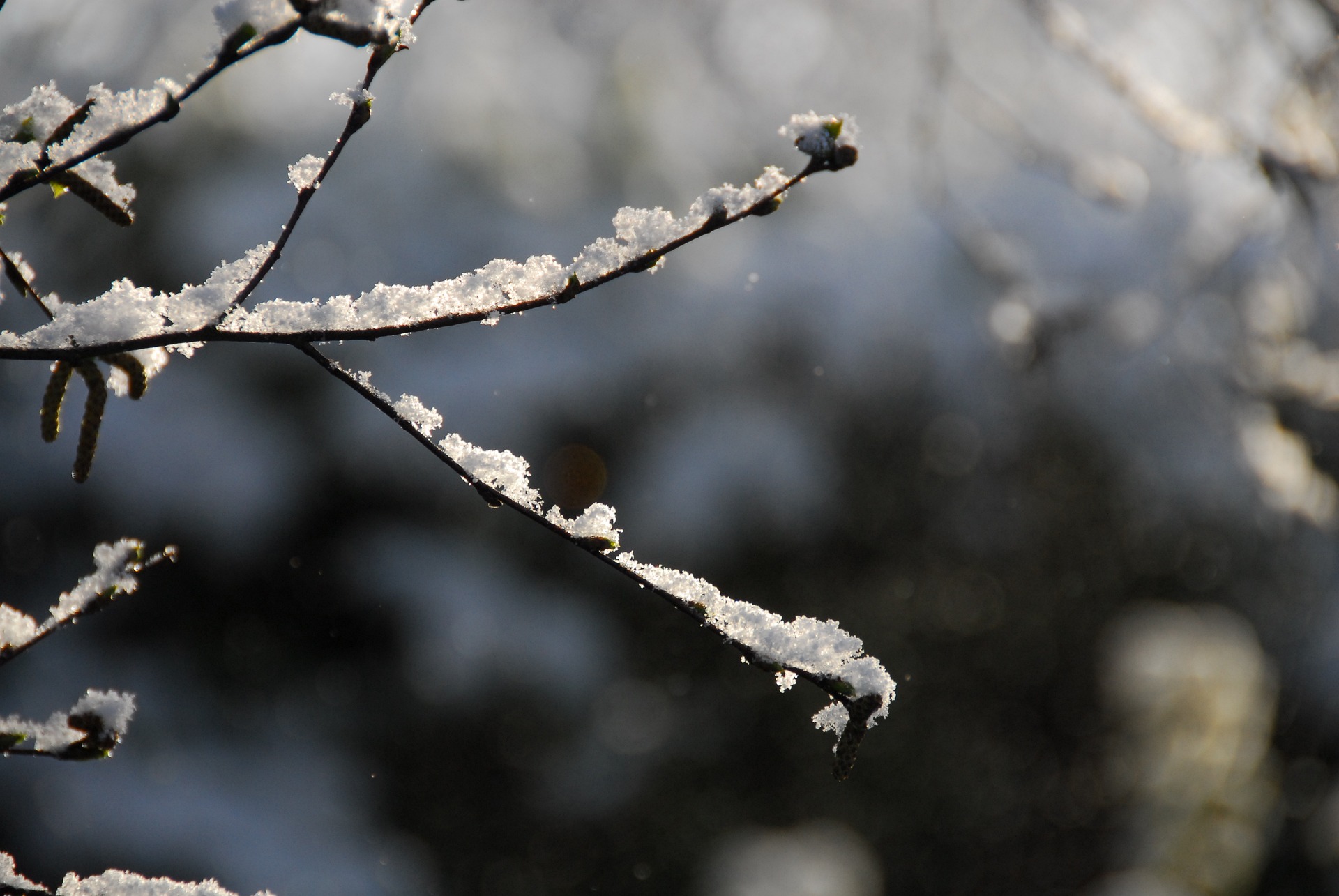
Austria is bracing for a renewed blast of winter as a cold front sweeps across the country in the coming days. According to Geosphere Austria, snowfall down to low elevations and at times strong winds will make for increasingly unpleasant conditions, particularly on Sunday.
Unsettled Start: First Snow Showers on Friday
Friday begins with rain and snow showers, especially in the northern regions, with the snow line hovering around 1,000 meters. As the day progresses, clouds gradually break up and sunshine returns, though the north remains overcast the longest. Winds blow moderately to briskly from Upper Austria to northern Burgenland. Morning temperatures range from –2 to +6 degrees, rising to 7–13 degrees during the day.
Saturday: Thick Clouds and a Falling Snow Line
Saturday brings widespread cloud cover, with brief early bright spells in the northeast quickly giving way to overcast skies. Precipitation spreads from the south across the entire country. South of the Alpine main ridge, the snow line sits near 1,300 meters; north of it, it initially ranges between 700 and 1,000 meters, dropping to around 300 meters in the Waldviertel and Mühlviertel by evening. Winds remain mostly light to moderate from northern directions. Temperatures start between –5 and +3 degrees and reach only 2–10 degrees during the day.
Snow Reaches Lowlands on Sunday
Sunday begins with widespread cloud cover and light snowfall reaching down to the lowlands. The heaviest precipitation is expected along the northern side of the Alps, where snow continues until midday. Elsewhere, snowfall tapers off during the morning, and by afternoon the sun breaks through in many areas. Winds pick up significantly along the Alpine main ridge and in the east, at times reaching stormy levels from the northwest. Temperatures fall over the course of the day from 5–1 degrees to between 2 and –7 degrees. The south remains the mildest region.
New Weather System Arrives Monday
A new disturbance approaches from the west on Monday, bringing fresh precipitation—mainly along the northern Alps from Vorarlberg to western Lower Austria, and occasionally in the east. The heaviest snowfall or rainfall is expected in the Bregenzerwald and around the Arlberg. In the morning, the snow line ranges from 700 meters down to valley level from west to east. It rises gradually throughout the day, reaching around 1,100 meters in Vorarlberg and about 200 meters in Lower Austria. The best chance for brief sunshine is in the east and south early in the day. Winds blow briskly to strong from the west in Tyrol and Vorarlberg, but remain mostly light elsewhere. Morning temperatures drop to –13 to 0 degrees, with daytime highs between –4 and +8 degrees.
Tuesday: Changeable, Sunny in the South
Tuesday remains unsettled, especially north of the Alpine main ridge, where clouds, moderate rain or snow, and occasional sunny breaks alternate throughout the day. The snow line ranges from 700 to 300 meters from west to east. From East Tyrol to southern Burgenland, precipitation ends by late morning, giving way to widespread sunshine. Winds are generally brisk, and in exposed areas of Upper Styria or the Vienna Woods, even strong, blowing from the west. Temperatures start between –5 and +2 degrees and rise to 2–9 degrees, with the warmest conditions in the west and south.
- source: vienna.at/picture: pixabay.com
This post has already been read 16191 times!


