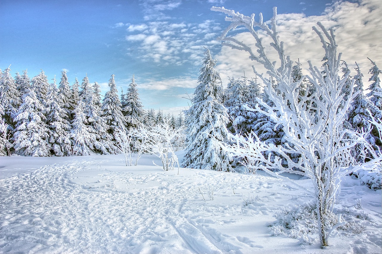
The weather remains exciting, with temperatures well below freezing and a varied mix of sun, clouds, and precipitation. Here is a detailed preview of the days leading up to Christmas.
Sunny Saturday morning, cloudy afternoon
The influence of an intermediate high will initially calm the weather, but this will not last long. After local patches of early morning fog clear in the south, the sun will appear everywhere. However, from the afternoon onwards, denser clouds will move in from the west, especially along the northern side of the Alps. Above around 800 meters, there may be isolated snowflakes in the Salzkammergut (Upper Austria) and the surrounding regions. Towards the evening, it will become milder at all altitudes with gathering weather disturbances, while the westerly wind will increase noticeably. Temperatures will start at a frosty minus 7 to plus 2 degrees and reach daily highs of between 2 and 7 degrees.
Risk of slippery conditions on Sunday due to a warm front
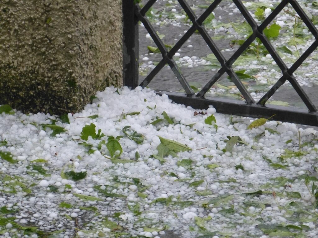
Sunday will be characterized by a deterioration in the weather. A warm front will bring precipitation from the west in the morning, which could cause dangerous conditions in the colder regions of the east and south: Freezing rain or sleet will lead to icy conditions here. The snow line will initially be around 1000 meters above sea level in these areas. It will get colder in the afternoon, and the snow line will drop to around 600 meters from the northwest. Intense precipitation is expected, especially in the northern foothills of the Alps and along the main ridge. The westerly wind will freshen up in the north. The lowest temperatures will be between minus 10 and plus 2 degrees, while highs will rise to between 2 and 6 degrees.
Monday: Rain and snow spread
At the start of the new week, there will be brief sunny spells in parts of the east and southeast. But by mid-morning, dense clouds will move in from the west and cover the entire country by the evening. Rain and snow will begin in the morning in Vorarlberg and Tyrol (western Austria). The precipitation will spread to the eastern lowlands as the day progresses. The snow line will fluctuate between 300 and 700 meters above sea level. The wind will blow moderately to briskly in the mountains, sometimes strongly from the west to northwest. Temperatures will range from minus 7 to plus 4 degrees in the morning and from 0 to 7 degrees in the afternoon.
Christmas Eve in the snow: Low pressure dominates
On Christmas Eve, Austria will remain under the influence of low pressure. A strong north-westerly to northerly current will cause cloudy weather, especially north of the main Alpine ridge and in the northern and eastern regions. It will snow persistently here, especially in the north. In the lowlands, sleet or snow showers are also possible with a snow line between 300 and 700 meters. The weather will be somewhat friendlier in the south and south-east, with a mix of dense clouds and brief sunny spells bringing at least dry conditions. The wind will blow moderately to briskly, at higher altitudes, and strongly from northwest to north. Temperatures in the morning will be between minus 5 and plus 4 degrees, with highs reaching 0 to 6 degrees.
- source: wetter.at/picture: pixabay.com
This post has already been read 8452 times!


