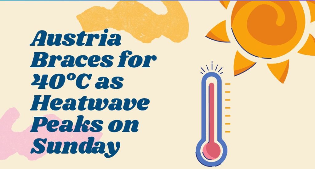
In the east of Austria, temperatures will remain above 30 degrees in the coming week, but according to the ZAMG forecast, the potential for thunderstorms increases every day.
According to the ZAMG forecast, it will remain midsummer hot in the east for the next few days. On Monday, residual clouds and local fog will quickly dissipate and for a few hours it will even be sunny everywhere. Starting from the mountains in the west and southwest, however, the tendency for thunderstorms will again increase significantly almost everywhere during the course of the day.
Today, Monday, it will remain most stable in the southeast and in the eastern lowlands. In the southeast and south, moderate southeast to southwest winds will blow, otherwise it will be rather windless. Early temperatures will range from eleven to 20 degrees, with daytime highs from west to east ranging from 23 to 32 degrees.
Isolated thunderstorms possible on Tuesday
In the western half of the country, clouds and sunny spells will alternate throughout the day on Tuesday. Isolated rain showers may pass through quite early, in the afternoon it will be thundery again. Further to the east, sunshine will predominate at first. In the afternoon, however, more and more spring clouds will appear, bringing a few thunderstorms.
It will remain mostly dry in the southeast. The wind will be weak to moderate from southeast to west. Early temperatures 13 to 21 degrees, daily highs from west to southeast 24 to 32 degrees.
Up to 32 degrees on Wednesday
The Alpine region will remain in a humid west-southwesterly high-altitude current on Wednesday. With the approach of a disturbance, showers and thunderstorms are again expected, especially in the west and later also in the north and on the eastern edge of the Alps, on the northern side of the Alps with the potential for damage. Thunderstorms will remain rare in the southeast and extreme northeast.
The wind will be mostly light to moderate, in the mountains and in the south partly brisk, from south to west. Early temperatures 14 to 20 degrees, daily highs 25 and 32 degrees.
Heat and rain: Austria divided into two parts on Thursday
On Thursday, persistently very warm air masses will reach the Eastern Alps. In the eastern half, dry, hot air will prevail, making it very sunny there. In the west, however, source clouds and also rain showers as well as thunderstorms are to be expected, thunderstorms will be less frequent in the north of the Alps.
The wind will be light, in the south partly moderate from the south. Early temperatures 14 to 21 degrees, daily highs 25 to 33 degrees, with the highs in the east.
Thunderstorm potential increases on Friday
In the west-southwesterly flow, another disturbance will then approach the eastern Alpine region on Friday. In the west, there is hardly any energetic air left, here mainly heavy rain showers will fall. Further to the east, thunderstorm potential will again build up in the muggy air during the day, in Flachgau and Upper Carinthia it is to be expected from noon onwards. In the evening, widespread thunderstorms are also expected in the east.
Lively winds will blow from west to south. Early temperatures will range from twelve to 22 degrees, daily highs from 22 to 32 degrees.
— sources: vienna.at/APA/picture: unsplash.com
This post has already been read 1966 times!