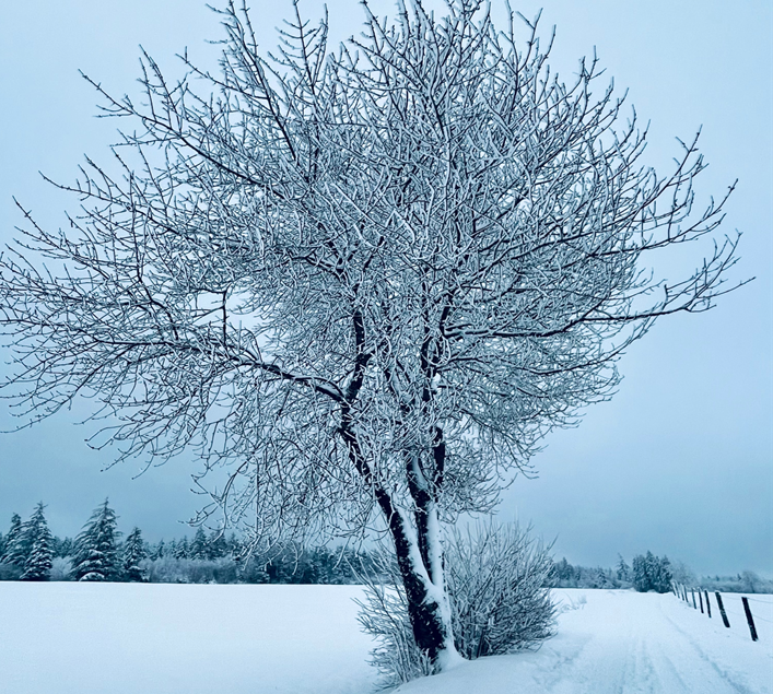
The week starts with sunshine, which is replaced by snow, fog and rain, and ends with dry and cold, but friendly weather.
Today, Monday, the sun shines south of the main ridge of the Alps, but in the north and east the day still starts with residual clouds. In the congestion of the Alps between Vorarlberg and the Mostviertel, it is still snowing at times, but the cloud cover is loosening more and more. Only on the northern side of the Alps between the Upper Austrian lake district and the Mostviertel, as well as in the Waldviertel and Mühlviertel, it will remain somewhat cloudy. Winds from the northwest will be light to moderate, in the Vienna Basin and in the foehn zones on the southern side of the Alps also brisk. Early temperatures will be minus five to plus three degrees, daytime highs zero to six degrees.
Increased rain and sleet
Tuesday will also start sunny, but further in the west clouds of a warm front will already move in, bringing sleet and rain with a snow line between 200 and 700 meters above sea level. In the afternoon, the clouds and precipitation will slowly spread towards the east. Until the evening, local snowfall or sleet must finally also be expected in western Lower Austria as well as in Upper Styria. In the west, on the other hand, the clouds will increasingly clear up already in the afternoon. The wind will be weak to moderate from west to northwest. The lowest temperatures will be minus twelve to zero degrees, the daily highs minus two to plus five degrees.
Mixture of clouds, rain and snowfall
Clouds, rain and snowfall then increase on Wednesday. The snow line ranges between 600 and 1,200 meters above sea level. Also in the southwest, clouds will accumulate during the day, but in the other parts of the country it will be friendlier, often dominated by sunshine. Foggy, however, is in basins and valleys – the wind comes mostly from east to south. Early temperatures range from minus 13 to zero degrees, with the lowest values in snow-covered inner Alpine valleys. Daytime highs are minus two to plus five degrees.
Austria will then be under a low-pressure influence on Thursday. It will be very cloudy, with rain or snow in some areas. The snow line lies from east to west between low elevations and 500 meters above sea level. While the precipitation in the east may already subside in the morning, it will continue to snow for longer on the northern side of the Alps. Here, the clouds will remain compact, otherwise sunny clearings are possible everywhere during the day. Mostly weak to moderate winds from west to northwest. Early temperatures will range from minus six to plus one degrees. By the afternoon, minus three to plus four degrees will be reached.
From Friday it will be sunnier again
From today’s perspective, the end of the week will be dry, cold – but friendly. There may still be a few cloud remnants and fog patches, but during the day sunshine will dominate. The wind will be light. In the morning, temperatures will range between minus eight and minus one degree, during the day, highs between minus two and plus three degrees are expected.
- sources: vienna.at/APA/picture: Photo by Daniel Rincón on Unsplash
This post has already been read 1723 times!


