
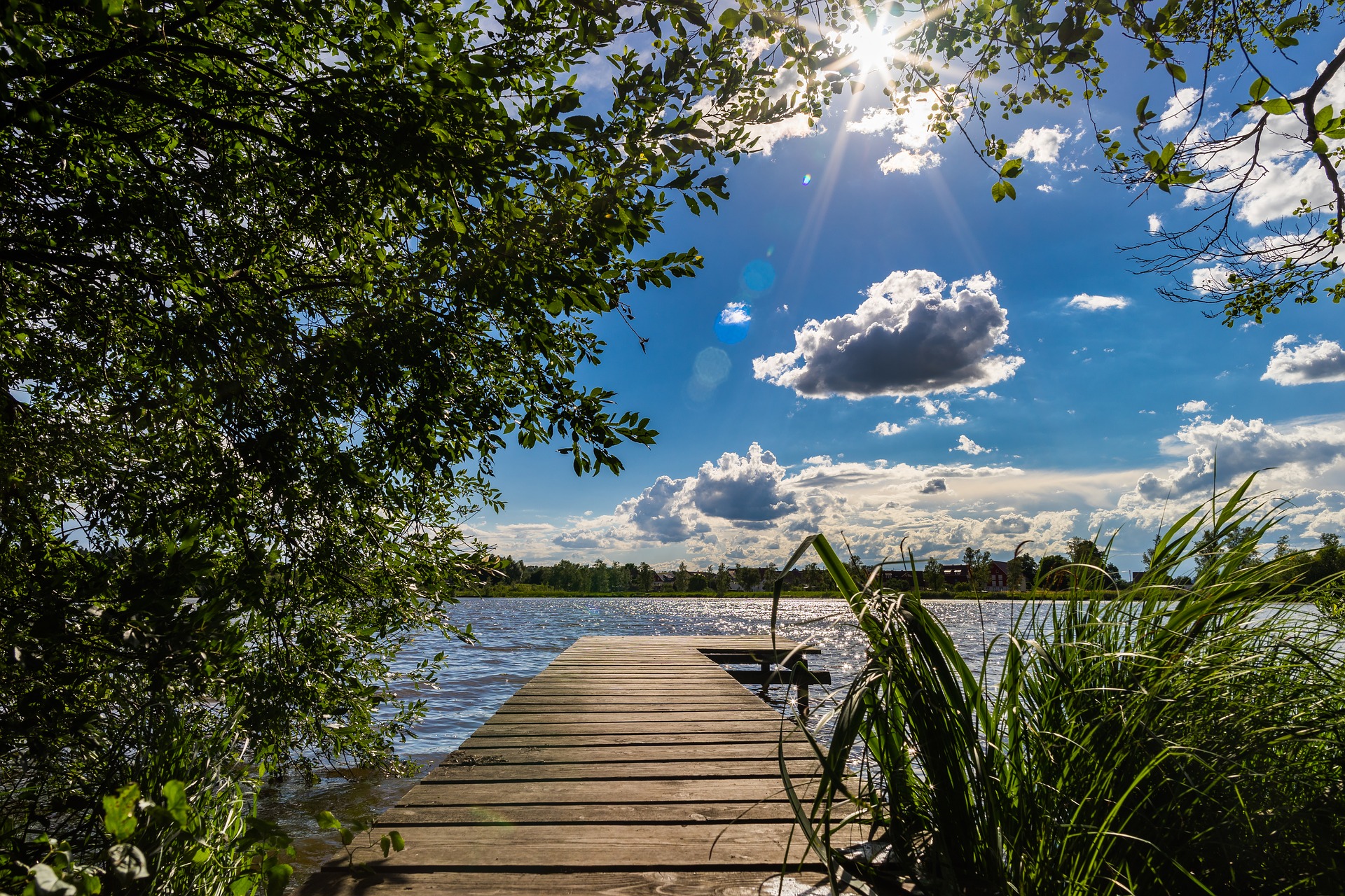
According to the ZAMG forecast, the weekend will be unsettled and prone to showers in large parts of Austria. Only in the east of the country should it remain predominantly dry.
After a sunny start to the weekend, increasingly unsettled and shower-prone weather will spread across Austria over the next few days. This was reported by the Central Institute for Meteorology and Geodynamics (ZAMG). The east of the country remains over the weekend for outdoor activities in advantage: There, it should stay largely dry.
Still little chance of showers on Friday
On Friday, a weak high-pressure influence will prevail. With this, the weather will be mostly sunny and dry. However, especially in the east and southeast, more spring clouds must be expected from noon on. However, the tendency to shower will remain low until the evening.
Generally, there will be only light winds. Only on the eastern edge of the Alps, moderate winds will blow from northern directions. Early temperatures will range between zero and eight degrees. Daytime highs range from 15 to 23 degrees, with the warmest temperatures in the country’s west.
On Saturday rain in the west and sun in the east of Austria.
In Vorarlberg and Tyrol, Saturday will already start with dense clouds. These spread slowly during the day in the direction of Salzburg and East Tyrol. In addition, the shadows with incipient rain and rain showers must be expected. Further in the east and southeast, however, the day will start sunny. In the afternoon, however, harmless spring clouds often adorn the sky.
The wind will blow weakly to moderately from east to south. The thermometer shows two to eight degrees in the morning and 13 to 22 degrees maximum in the afternoon.
Up to 21 degrees on Sunday
In the west, clouds will predominate on Sunday, and it will rain again and again. Otherwise, it will be partly sunny, but some cloud fields will pass through. With rising spring clouds, rain showers are expected from noon at the latest, especially in the mountainous and hilly areas. It will remain predominantly dry in the north and east. In the east, partly moderate, the wind will be light from east to the southeast (early temperatures: four to nine degrees, daily highs: 14 to 21 degrees).
The new week starts unsettled, showers possible again and again.
On Monday, unsettled weather is in store, with dry and sunny spells in the west and north in the morning. Otherwise, there will be many clouds and sunny spells only in between. In addition, especially in the mountains, rain or showers are often expected. The wind will blow weakly to moderately from the northeast to the south. Early temperatures will range from four to ten degrees. During the day, it will warm up to 15 to 21 degrees.
The changeable and shower-prone weather will continue on Tuesday. In addition to longer sunny spells, spring clouds will form during the day, and rain showers will be expected from noon at the latest. In addition, light to moderate winds from the east to the south will blow (early morning temperatures: five to eleven degrees, daily highs: 16 to 21 degrees).
- source: vienna.at/picture: Bild von Lars Nissen auf Pixabay
This post has already been read 3320 times!


