
From the night to Wednesday and during the day, a little depression north of the Alps moves eastward, resulting in milder and moist air masses entering the country. It brings short-term warming in central locations and, thus an increased risk of freezing rain.
As a result, an air mass boundary establishes over the country’s north, separating icy air over northern Central Europe from the warm Mediterranean atmosphere. The forecast in detail:
Dense clouds will persist on Wednesday, already in the morning, especially north of the Alps. In addition, it will snow lightly from the Tyrolean lowlands to the Salzkammergut. Especially from Lake Constance to the Innviertel, freezing rain will fall. This is also expected in the morning in the central region, the Traunviertel, and valleys of the central and west northern Alps.
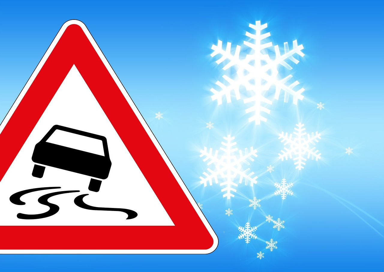
The black ice rain may turn the roads into dangerous slippery slopes. Because of the expected heavy ice formation, the meteorologists of UBIMET have already sent out severe weather warnings for several regions on Tuesday evening. Red signs are therefore in effect in Linz and Steyr, among other places, from 10 a.m. Wednesday until 4 a.m. Thursday.
These warnings could be extended in the day because, in the afternoon, the freezing rain also advances eastward in the Danube region and reaches the Vienna Woods and the Weinviertel in the evening. Meanwhile, in the west, partly freezing showers will pass through.
The sun will most likely appear in the south and southeast after the fog dissipates. In the northeast, the southeast wind will blow briskly, with gusts even stormy. The highs will range between 0 and +7 degrees from west to east.
Thursday will start mostly cloudy and wet north of the Alps, while it will start primarily friendly along the main ridge of the Alps and south of it. It will still snow lightly from the Mühlviertel and Waldviertel to the Weinviertel. While it will gradually dry out in the north during the day, it will start to rain again from the southwest.
In the central mountainous region and the east and southeast, there is a risk of freezing rain with slippery conditions. With the onset of precipitation, the snow line will be around 1000 meters. In addition, moderate easterly winds will pick up in the Danube region. Temperatures will continue to drop, with highs between -2 and +4 degrees Celsius.
From today’s perspective, Friday will be predominantly cloudy and wet throughout the country. Moderate snowfall is expected from Carinthia over Styria to the Vienna Basin. The wind will blow moderately to briskly from westerly directions.
- source: heute.at/picture: Bild von Gerd Altmann auf Pixabay
This post has already been read 1637 times!


