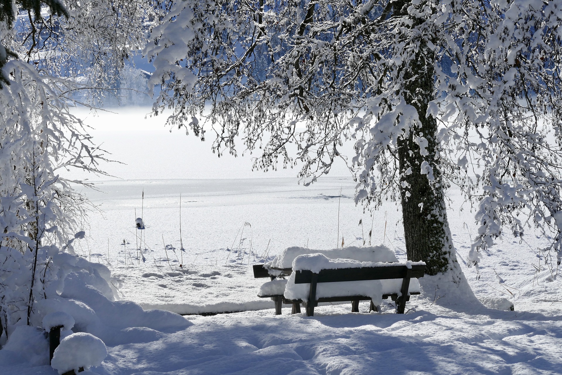
The coming week will be pretty wintry in most of Austria, with daytime temperatures around plus four degrees. Geosphere Austria then forecasts more snow on Friday.
Winter will remain with Austria for the most part in the coming days, even if it will initially become much milder in the east at the beginning of the week. In the south and southeast, there will be snow and rain at the beginning of the week. From Friday, it will be wintry again everywhere, according to the forecast of Geosphere Austria (formerly ZAMG).
Mild start to the week in the east of Austria
On Monday, clouds will continue to predominate; in the south and up to the center of the country, it will frequently snow regionally and heavily. Especially at altitude, however, it will be much milder in the eastern half than recently; the snow line will rise to about 1,000 meters, sometimes even a little higher. Otherwise, it will hardly snow or rain; in Northern Tyrol and Vorarlberg, even individual clearings are possible.
The wind will be light to moderate in the southeast, partly brisk to strong from mainly northerly directions. Early temperatures will range from minus seven to plus two degrees, and daily highs will be from minus one to six degrees.
A mixture of snow and rain on Tuesday
On Tuesday, there will initially still be frequent rain and snowfall on the southern side of the Alps and in the southeast, with the snow line mostly fluctuating between 400 and 800 meters above sea level. Only towards evening should the precipitation rates generally decrease significantly. In the rest of Austria, low cloud layers will persist, from which it may occasionally drizzle or above about 500 to 700 meters above sea level also come to light snow drizzle. More oversized sunny windows are expected only in Vorarlberg and Northern Tyrol.
The wind will be light to moderate on the eastern edge of the Alps, occasionally brisk from northerly directions. From minus six to plus three degrees in the morning, temperatures will rise to a maximum of zero to five degrees.
Sunny weather forecast for Wednesday in the mountains
On Wednesday, exceptionally sunny weather will prevail in the west and the mountains. Otherwise, often tenacious high fog patches or low-lying stratus clouds will persist. In the day, these will slowly clear from the hills.
The wind often blows only weakly from northwest to north. In the morning, it will be mostly minus six to plus one degree, with daytime highs reaching minus one to plus four degrees.
Snowfall resumes on Thursday
On Thursday, the sun will shine at times in the west and south, along with dense clouds. Otherwise, it will remain cloudy throughout the day, and light snowfall will set in later in the afternoon and evening in the north and east.
The wind will be mostly light. Early temperatures will be minus eight to zero degrees, with daytime highs of minus one to plus four degrees.
More snow from Friday
On Friday, clouds will predominate, and intermittent snowfall is also expected in large parts of the country, most along the northern side of the Alps and the east.
Winds will be light to moderate in the mountains and the east and also brisk from northwest to north. From minus eight to plus one degree in the morning, temperatures will rise to minus two to plus three degrees during the day.
This post has already been read 6615 times!


