
A powerful snowstorm sweeps across large parts of Austria on Monday! In several provinces, the increased warning level was called.
At the beginning of the week, the gradient between a high over the East Atlantic and a pronounced low-pressure complex over Scandinavia increasingly strengthens. Thus, partly bad northwestern weather continues until the week’s second half. In addition, several fronts along the northern Alps repeatedly provide snowfall.
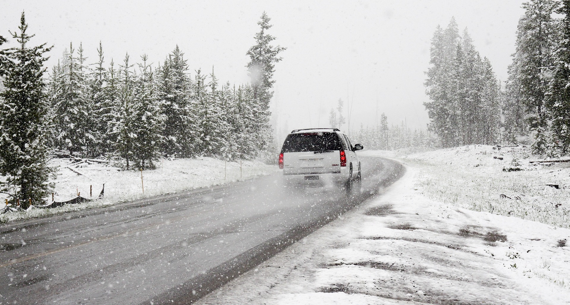
Expert now predicts 70 centimetres of new snow and storm
A first front reaches the eastern Alpine region on Monday; until Tuesday, the largest amounts of fresh snow are expected in the Mariazell and Ausseerland. On Wednesday, calmer weather will dominate for a short time, but already towards evening, the next front will reach the Alps. According to the current situation, large amounts of new snow can be expected in the Northern Alps until the weekend, but at lower altitudes, the rain will also be mixed in again and again.
On Monday, clouds will dominate the northern side of the Alps, and around noon, snow will gradually fall from the northwest, changing to rain below 300 to 500 meters during the day. In the east, only isolated rain and sleet showers will pass through; in the south and southeast, it will remain dry and sunny. On the northern side of the Alps, a widespread strong, especially from the Mostviertel to the Thermenlinie, and on the mountains, will freshen up stormy westerly wind. With 0 to +7 degrees, it will be milder.
Tuesday begins on the northern side of the Alps with snowfall, which temporarily decreases during the day. However, the sun will hardly show itself, and towards evening, it will snow more frequently again. Only isolated showers will pass through with a snow line between 300 and 500 meters in the Danube region and in the east, with the strong northwest wind. Mostly dry with sunny intervals will remain in the inner Alpine parts; the friendliest areas will be in the south. Highs will range between 0 and +7 degrees.
The windy and two-part weather will continue on Wednesday. Along the Northern Alps, it will snow down to many valleys; in the Danube region and the eastern lowlands, rain showers will pass through. The snow line will be between 500 and 800 meters, depending on the intensity. In the south, on the other hand, it will remain dry and often sunny; in predestined locations north foehn and from Upper Austria to Burgenland, strong west to northwest winds will continue to blow. Temperatures will rise to 3 to 10 degrees, with the highest values in the southeast.
Thursday will again increasingly show its wintry side; in the mountains, it will snow increasingly frequently and heavily down into the valleys. Only in the Rhine and Inn valleys will rain be mixed in at first. Most fresh snow is expected in the Arlberg region and the Salzburger Land. In the Danube region, in the eastern lowlands and the very south, only isolated rain and sleet showers will pass through, with occasional sunshine. With brisk northwesterly winds, the highs will range between 0 and +8 degrees.
This post has already been read 2595 times!


