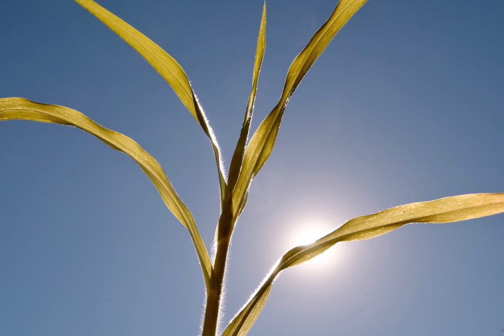
The heat returns this weekend. With up to 37 degrees, we will sweat again, according to the forecast of Geosphere Austria.
The summer weather returns to Austria: Especially on the weekend, it will be very hot with up to 37 degrees, predicted the experts of Geosphere Austria on Thursday. From Monday, however, the tendency to shower increases again.
Only short cooling: Already from Friday it will be hot again
High air pressure will already dominate the weather in the Eastern Alps on Friday. Thus, mostly sunny and dry weather will prevail until the evening. Thin veil clouds in high layers will hardly disturb. In addition, local cumulus clouds may form over the Alpine peaks. Only in the south, individual short rain showers are possible with them until the evening.
The wind will gradually shift to the southeast and southwest during the day but generally be light to moderate. The early morning temperatures will reach ten to 19 degrees, the daily highs 25 to 32 degrees.
Up to 37 degrees are expected on Saturday
On Saturday, from Vorarlberg to the eastern edge of the Alps, as well as from the Bohemian Massif to the Karawanken and the Carnic Alps in the south, the sun will shine almost undisturbed under the influence of high air pressure. Spring clouds forming over the western Alpine peaks will also remain harmless.
The wind will be light to moderate in the country’s eastern half and lively from east to south. In the morning, 13 to 20 degrees; during the day, 29 to 37 degrees, warmest on the north side of the Alps with a southerly foehn.
On Sunday, it will be sunny in many places until the afternoon, with only a few harmless cloud fields. It will initially be partly foehn on the northern side of the Alps. Gradually, however, clouds will move in from Switzerland. Later, showers and thunderstorms will appear, which will slowly spread eastward. Away from the mountains, however, it will often remain dry until the evening.
The wind comes from different directions, partly foehn reviving from the south, with disturbance influence increasingly turning to the west. It will boil again during the day after early temperatures between 15 and 22 degrees, with daily highs between 29 and 36 degrees from west to east.
From Monday, the tendency for showers increases
After the previous night’s precipitation, Monday will still be prone to showers during the day. Especially in the south, there may also be thunderstorms in the afternoon. Between denser clouds, however, the sun will show up from time to time. The wind will mainly come from the west to northwest and partly pick up on the northern side of the Alps and the eastern edge of the Alps. Temperatures will climb from 16 to 22 degrees in the morning to daily highs from west to east of 27 to 33 degrees.
On Tuesday, there will initially be a mix of sun and clouds over the country. As the day progresses, however, the proportion of clouds will increase, and showers and short thunderstorms will form again and again. The wind will blow moderately to briskly from west to southwest. The early morning temperatures will be between 14 and 20 degrees, and the daily highs will be between 26 and 33 degrees.
- – source: vienna.at/picture: pixabay.com
This post has already been read 4730 times!