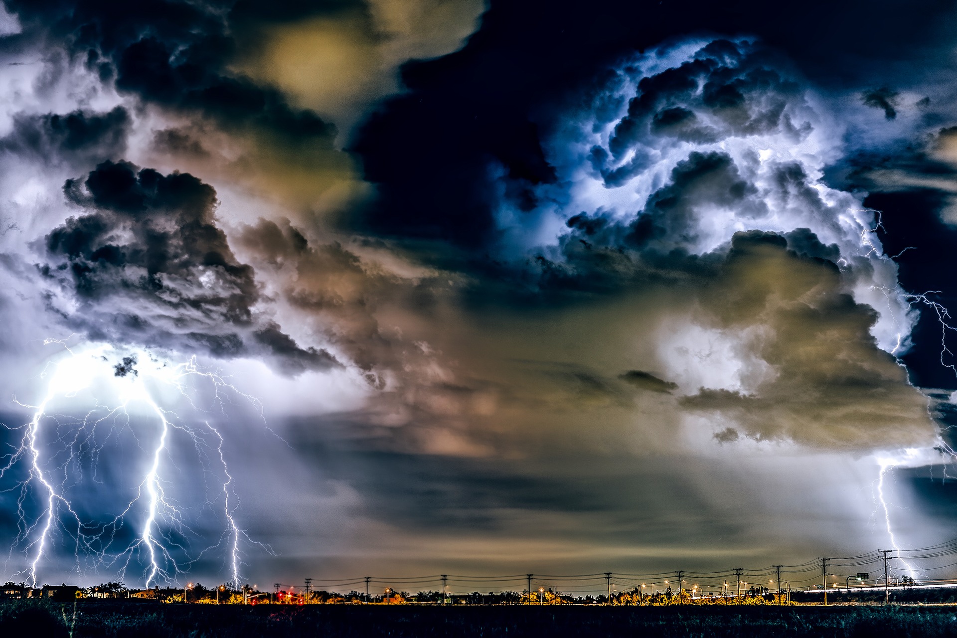
Today, Monday, Austria lies between an extensive Scandinavian low and a ridge of high pressure over the Mediterranean. An air mass boundary extends across Central Europe and separates Atlantic air masses over Northwest Europe from hot air masses in the Mediterranean region. Austria will remain under the influence of warm, humid air, so the risk of thunderstorms remains elevated. There will be little change on Tuesday and Wednesday; a slight cooling is temporarily in sight on Thursday.
On Monday, some showers and isolated thunderstorms will pass through from Vorarlberg to the Waldviertel in the morning and early morning, while the sun will shine frequently in the south and southeast. During the day, the sun will also appear on the northern side of the Alps, but in the afternoon, the tendency for thunderstorms will increase, especially in the eastern mountains and in the south. In some places, the thunderstorms will be severe! The wind freshens in the east, temporarily brisk from the northwest, and temperatures reach 26 to 34 degrees.
Tuesday will start with isolated showers and thunderstorms, especially on the eastern edge of the Alps; after a sunny morning, the risk of thunderstorms will increase markedly in the mountains and the south in the second half of the day. There is also a risk of larger hail. The initially brisk westerly wind on the northern side of the Alps will ease during the day, but locally heavy gusts of thunderstorms are to be expected. Temperatures will reach 26 to 33 degrees.
On Wednesday, there will be repeated showers, in some areas heavy and thundery. The sun will sometimes shine in between, especially in the east and south. Still, after the temporary clearing, in the afternoon again, strong thunderstorms with the risk of severe weather will fall away from the mountains, and the weather will slowly calm down in the evening. A brisk westerly wind will blow in the north and east, with isolated gusts expected during thunderstorms. Highs will range between 24 and 33 degrees.
Thursday will start with sunny spells in some areas and rain showers on the northern side of the Alps and in the extreme south. During the day, the focus will shift to the central and southern mountainous regions, where local thunderstorms will occur. At Lake Constance, in the Danube region and the eastern lowlands, however, the weather will calm down, and the sun will appear. With moderate to brisk westerly winds, 23 to 31 degrees will be reached from west to east.
- source: heute.at/picture:
This post has already been read 3454 times!


