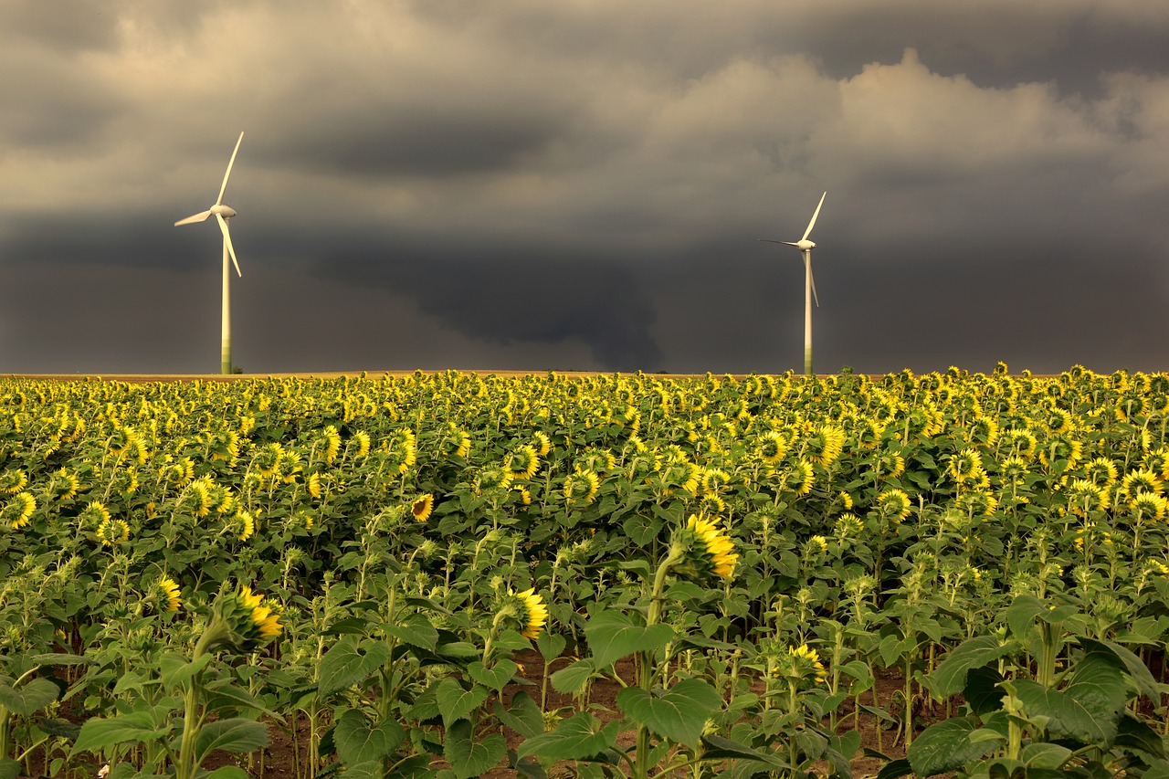
The weather presents itself from its changeable side in the new week. It’s getting warmer again, but it’s crashing again.
At the beginning of the new week, the weather temporarily calms down under the influence of intermediate highs, before on Tuesday, with the arrival of the frontal system of the Atlantic low “Wenzeslaus” from the west, the unsettled weather character with numerous showers and individual thunderstorms prevails again. There will be only a short pause in the middle of the week, but Austria will increasingly come under the influence of the Atlantic low “Xan” moving up from the west during the day. The associated frontal system crosses the Alpine region on Thursday and provides again for changeable, showery and thunderstorm-prone conditions.
Some residual clouds will remain on Monday, especially in the mountains and in the south in the morning, but except for isolated showers in the southeast, it will start the day dry. In the morning, a primarily friendly sun-cloud mix will prevail; only in the central and southern mountainous areas isolated showers or thunderstorms will form in the afternoon. In the evening, these will subside. With moderate west-to-southwest winds, highs will range between 22 and 29 degrees.
Tuesday begins in the east and primarily southeast, still dry and sunny fluffy. On the other hand, rain showers will spread from Lake Constance to the Waldviertel early in the morning, gradually shifting to the east and south during the day. Local thunderstorms must also be expected. The wind will blow weakly to moderately from the southern, in the evening from the western directions. From northwest to southeast, temperatures will reach 18 to 28 degrees.
On Wednesday, from Salzburg and Klagenfurt eastward, the sun will shine frequently again, and the tendency for showers and thunderstorms will be low. In the west and southwest, extensive cloud fields will move through, but only a few isolated raindrops will fall during the day. During the night, rain will become more frequent in Vorarlberg. Initially, a moderate westerly wind will blow; during the day, the wind will shift more to southerly directions, and temperatures will rise to 21 to 28 degrees.
Thursday will start with frequent sunny spells in the east and southeast, but from Vorarlberg to Upper Austria, it will frequently rain from early morning to noon. Some showers will also fall in the east. The most extended sunny spell will last from Lower Carinthia to Southern Burgenland, where it will become thundery towards evening with a local risk of thunderstorms. Highs will mostly be between 20 and 27 degrees but in the western mountains, only around 17 degrees in places. In contrast, temperatures in the southeast will climb to 30 or even 31 degrees.
- source: heute.at/picture: Bild von Peggychoucair auf Pixabay
This post has already been read 3557 times!


