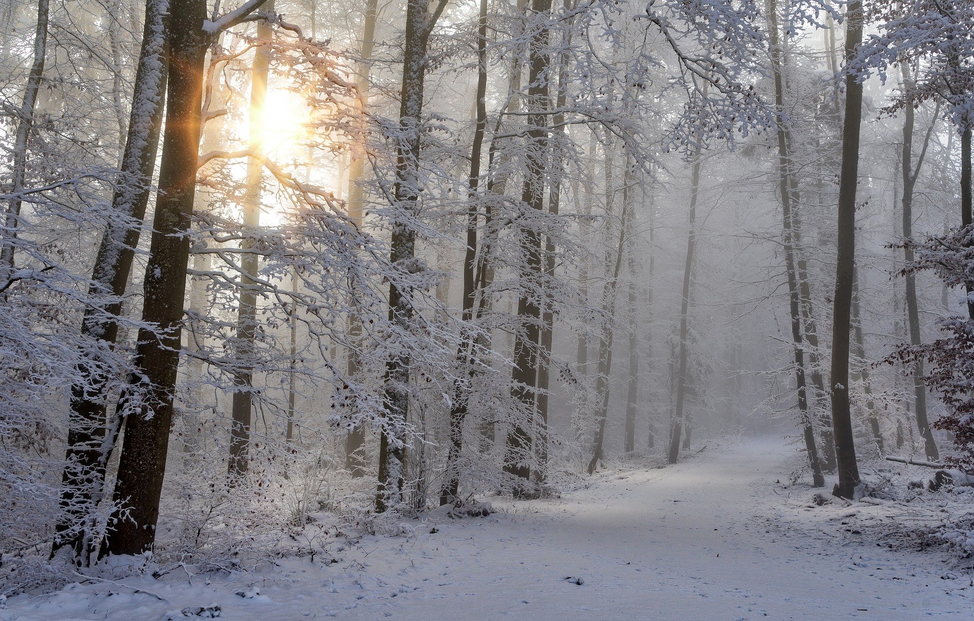
It’s going to get much colder all over Austria this weekend. Geosphere Austria is even expecting snowfall in large parts of the country. The snow line will drop to up to 300 meters as early as Friday. Even lower temperatures are then expected at the beginning of the new week.
The forecast in detail
A cold front will move across Austria from the north on Friday. There will be widespread rain and snow, with snowfall levels also starting to fall from the north, from 1,000 meters at the beginning to up to 300 meters. As the day progresses, the main focus of precipitation will shift to the northern uplands between Vorarlberg and the Mostviertel. In the afternoon, mainly sleet and snow showers are expected in the lowlands and on the southern side of the Alps. The wind will be strong to stormy from the west in the northern half and moderate in the south. Depending on the wind, early temperatures will be between minus five and plus six degrees, midday temperatures between four and ten degrees, before much colder air masses flow from the north in the afternoon.
On Saturday, the Eastern Alps will remain under the influence of cold polar air in a strong northerly flow. In the west and north, dense cloud cover will predominate with snowfall down to low altitudes, with quite heavy snowfall in places in the northern foothills. In the north-east and east, individual short snow or sleet showers will pass through during the day, with sunshine in between. There will be a little more sunshine in the south and south-east, where snow showers will be less frequent. An icy north-westerly wind will blow in exposed areas and on the eastern edge of the Alps. Depending on the wind, early temperatures are forecast to be between minus four and plus two degrees, with daytime highs between zero and five degrees.
Related video: Weather update: Polar front heralds winter! (wetter.com)
Snow is also in the lowlands
Cold air masses will flow into Austria from the north and north-west on Sunday. It will frequently snow from mainly dense clouds in the west and on the northern side of the Alps; snow showers will pass through on the eastern edge of the Alps, while in the south, it will be mainly free of precipitation with a föhn wind. In the north, winds will blow briskly from west to north-west along the main Alpine ridge. Early temperatures will be between minus five and plus one degree, with daytime highs of minus two to plus five degrees.
The disturbing influence will continue on Monday, with further precipitation moving through from the north-west on the northern side of the Alps. In some areas, dense clouds will predominate, with frequent snowfall, especially on the northern side of the Alps and in the east. The snow line will initially be mostly at low altitudes but will rise from the west to altitudes of 500 meters and above as the day progresses. It will remain dry and sunny south of the main Alpine ridge. The wind will blow weakly to moderately, mostly from the west to the north-west, with early temperatures of minus six to minus one degree Celsius and daily highs of minus one to four degrees Celsius.
Cold, damp air masses will cause cloudy weather across Austria on Tuesday. It will snow frequently, from today’s perspective, especially in the east, for longer periods and often down to low altitudes. As the day progresses, the wind from the north will pick up somewhat in some areas. Early temperatures will mostly be between minus five and zero degrees, with daytime highs of minus three to plus three degrees.
- source: wetter.at/picture: pixabay.com
This post has already been read 5941 times!