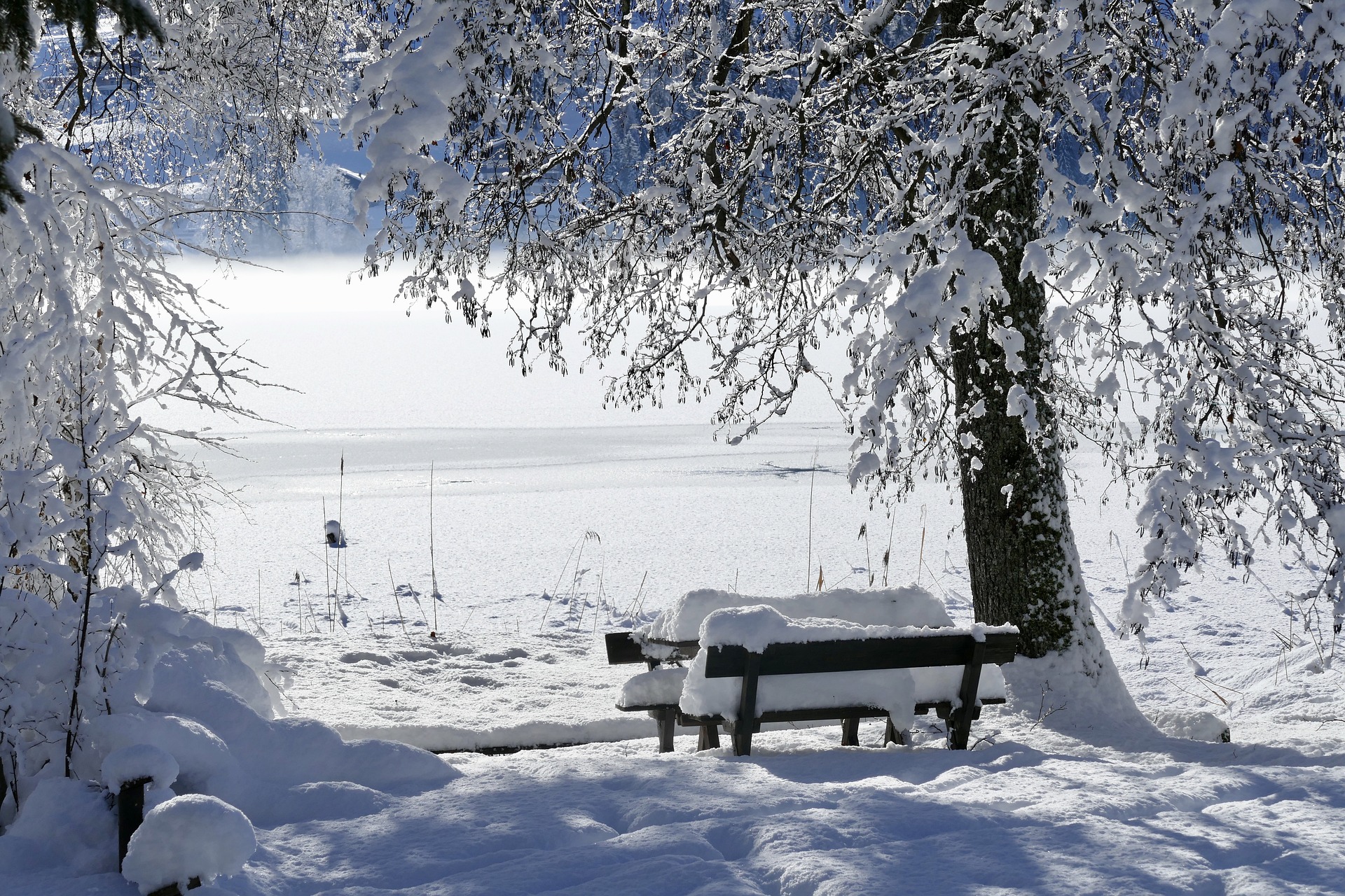
According to the latest forecast from Geosphere Austria, there will be a significant onset of winter on Sunday night.
What the weather will be like in the new year 2024
While the snow line is still expected to be between 1,200 and 1,400 meters on Friday, it will drop to between 400 and 900 meters on Saturday. The start of the coming working week will then be wintry: while the highs on Friday could rise to ten degrees Celsius, the maximum temperature on Tuesday is expected to be zero.
On Friday, the general current will turn south-west to south, and from there, a cloud umbrella will spread over large parts of the country. There will be the odd sunny spell, especially in the north, but thick clouds will soon build up in the south and partly along the main Alpine ridge. From Vorarlberg to East Tyrol and Upper Carinthia, there may be some rain in the afternoon and evening. The wind will blow weakly to moderately from mainly east to south. And after early temperatures of between minus six and plus five degrees, it will be another four to ten degrees during the course of the day, with higher values with some sunshine in the north.
Dense clouds on Saturday
An upper Italian low will then bring dense clouds all day on Saturday as well as widespread, often long-lasting precipitation in the form of snowfall – and rain towards the east, which may then change to sleet or wet snowfall in the evening. The wind will blow weakly to moderately from the northwest to the north. Minus one to plus four degrees in the morning will be followed by daytime highs of between two and seven degrees. On Sunday night, it will be wintry everywhere with snowfall, most recently in the south.
Gray in gray skies on Sunday
The sky will be grey on Sunday, and repeated snowfall is to be expected, some of which may be intense. Rain or sleet is possible in the south and southeast below 700 meters above sea level until the morning. The wind will be weak to moderate, moderate to strong in the eastern half, from northwest to north, and will lead to snow drifts, particularly in the north and east, especially at higher altitudes. Temperatures will drop from minus three to plus four degrees at the start of the day to minus six to plus two degrees by the evening.
Clouds predominate on Monday
Clouds will predominate on Monday, and snow will fall at times, especially in the north, east, and southeast. The snowfall will subside in the afternoon, and the clouds will clear, especially north of the Danube, allowing for a little sunshine. The wind will blow weak to moderate, brisk to strong, and icy cold in the east, from northwest to east. There is still a risk of snow drifts, especially in the east and southeast. In the morning, temperatures will range from minus ten to minus one degree and just rise to minus eight to plus two degrees, with positive values expected in Carinthia and East Tyrol.
Compact clouds on Tuesday
In the west and south, compact clouds will initially persist on Tuesday, gradually decreasing in the course of the afternoon. In the rest of Austria, however, the sun will shine frequently. The wind will be weak to moderate from northwest to east. The lowest temperatures will range from minus 20 degrees in the Mühlviertel and Waldviertel to minus four degrees in the south, while daytime highs will remain between minus nine and zero degrees.
source: vienna.at/picture: pixabay.com
This post has already been read 4579 times!