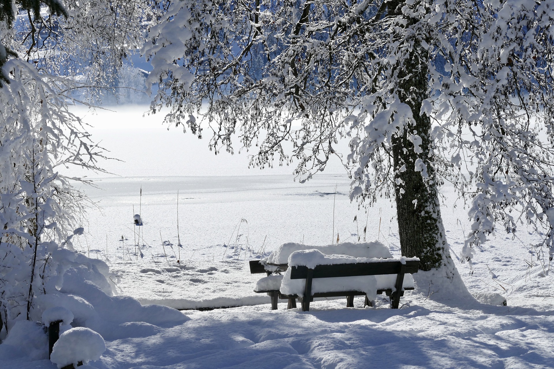
The weather is currently looking increasingly wintry: according to the latest forecast from Geosphere Austria, snowfall down to low altitudes is expected starting Wednesday. The snow line is expected to drop between 200 and 600 meters above sea level. Highs will drop to a maximum of four degrees Celsius over the course of the week, with sub-zero temperatures expected in the morning hours.
The forecast in detail
On Monday, the remaining clouds from an overnight cold front will clear in the morning, and the sun will sometimes shine. Afterwards, new cloud fields will move in from the northwest and rain again in the north and east. The snow line will still be around 1,200 to 1,400 meters above sea level. The wind will blow moderately to briskly from westerly directions, but in the south, it will blow only weakly to moderately from the southwest. The daily lows will be between minus four and plus five degrees, and the daily highs will be between six and eleven degrees.
Fields of clouds will make themselves felt again and again on Tuesday; the sun will only appear briefly but somewhat more frequently in the southeast. Towards evening, it will rain in Vorarlberg; the snow line will be around 1,600 meters above sea level. The wind will be weak to moderate along the foehn north side of the Alps also brisk from east to southwest. The lowest temperatures are unchanged from Monday and will rise to between five and twelve degrees during the course of the day.
A disturbance zone moving through from the northwest will then dominate the weather during the course of the day on Wednesday. Rain, sleet, or snowfall can be expected during the night, with the snow line quickly dropping to 200 and 600 meters above sea level. From midday, the precipitation will slowly decrease, and the clouds will clear in some areas, allowing for short windows of sunshine. The wind will be brisk to stormy from westerly directions. Especially in elevated and exposed locations in the north, wind speeds of over 100 km/h may occur. The lowest temperatures will be between minus 4 and plus 4 degrees and will only rise to between one and eight degrees.
Snow, even at low altitudes
The last remnants of the disturbances will move away in the first half of the day on Thursday; the clouds will gradually clear, and the sun will shine widely. Scattered snow or sleet showers may only occur in the north. The snow line will drop below 100 meters above sea level due to the cold air mass. From the afternoon onwards, thicker clouds will move in from the southwest and cloud the sky. The first sleet and snowfall may occur in the west in the evening. The wind will often blow briskly to strongly during the course of the day, especially in the north of the country, from westerly to southerly directions. Early temperatures will be between minus six and plus two degrees, with daytime highs between minus two and plus six degrees.
During the course of the day on Friday, a disturbance will move across the country and cause cloudy weather with widespread snow and sleet down to the lowest altitudes, especially along the southern side of the Alps. As things stand, the sun will hardly ever be seen in all parts of the country. The wind will be mostly weak to moderate, often brisk to strong along the main Alpine ridge from westerly directions. Early temperatures will range from minus six to zero degrees, with daytime highs of zero to four degrees.
- source: wetter.at/picture: pixabay.com
This post has already been read 5052 times!


