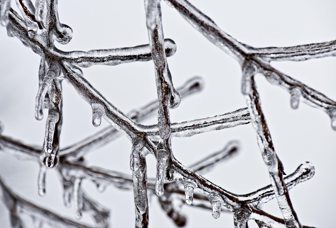
A strong area of high pressure with cold air masses dominates the weather. Temperatures are dropping significantly, especially at night.
The influence of the high-pressure area will increase at the weekend. There will be more sunny spells, but thicker patches of cloud may pass through, especially in the east. The sun will have a harder time on Sunday, and it may snow lightly in some places. Daytime highs away from the mountains will be between 1 and 4 degrees Celsius. At night, it will cool to between minus 3 and minus 8 degrees, with local temperatures below minus 10 degrees possible.
Weather for the coming week
Dry and cold weather continue at the start of the new week. Sunny and cloudy periods will alternate. Only a few snowflakes may fall in the Alps. There are still uncertainties for the rest of the week. On the one hand, Atlantic lows are approaching, which could bring the first signs of spring, especially in the west. On the other hand, an increasingly strong high-pressure system over Eastern Europe will counter this with a cold easterly current.
- source: wetter.at/picture: Image by Jorge Guillen from Pixabay
This post has already been read 8888 times!