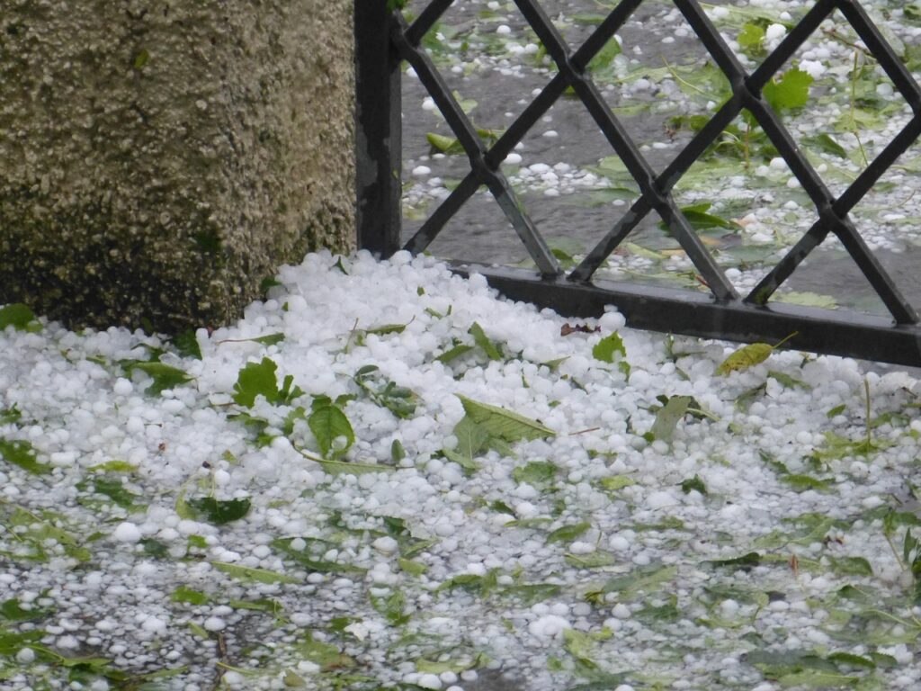
The weather in Austria continues to present itself as unsettled at the beginning of the week.
The low-pressure influence will make itself felt from the southwest; another disturbance zone will move in. On Monday, the west snowline drops to 700 meters by the evening, announced the Central Institute for Meteorology and Geodynamics (ZAMG) on Sunday.
Rain and snow await on Monday
In the east and southeast, on the other hand, precipitation will not begin over a large area until Monday evening. Before that, there will be a few drops from the high fog cover. The wind will be moderate to brisk from southeast to south in the mountains. Later moderate westerly winds will develop in the east—early temperatures minus one to plus five degrees, daytime highs reaching three to nine degrees.
On Tuesday, the air pressure will increase in the west and south, and sunny weather will set in here. Otherwise, many clouds will continue to move through; between Salzburg and Burgenland, it will still rain or snow at times, with the snow line fluctuating between 500 and 900 meters. After some clearing also in the north in the afternoon, another cold front will reach the west and north in the evening, with rain and snow between the Tyrolean lowlands and the Waldviertel. In the Danube region, the westerly wind blows noticeably. In the morning, minus four to plus four degrees; in the afternoon, the thermometer climbs to three to eight degrees.
A weak cold front from Wednesday
Embedded in a northwesterly high-altitude current, a weak cold front will sweep the north on Wednesday. With it, dense clouds will prevail in the morning along the northern side of the Alps and the north and east, and a few rain and snow showers will fall. The snow line will be between 400 and 800 meters. However, the weather will improve in the afternoon, and sunny weather should prevail in most regions. Only in the congested northern areas will it remain cloudy for longer. Generally, favorable weather is in the south, but fog patches may persist over the lowlands. The wind will blow moderately from the west in the north and east. Otherwise, it will be light. The early temperatures will be minus five to plus three degrees, with the daily highs between two and seven degrees.
Wind, rain, and snow also on Thursday
On Thursday, the high-altitude current will turn southwest again; the incoming air masses will become milder at altitude. Over the lowlands and the foothills of the Alps, fog and high fog may persist in parts, but away from them, the sun will shine more often. Only between Lower Carinthia and the Wechsel, it may initially rain or snow a little, with the snow line between 300 and 600 meters. The next disturbance zone will move in from the southwest in the evening and at night. The wind will blow moderately to briskly from southeast to south in the mountains and the east. It will be minus five to plus two degrees Celsius in the morning and not more than two to seven degrees Celsius during the day.
With the influence of disturbances, rainfall will spread quickly from the southwest to large parts of the country on Friday. The snow line will initially be mostly around 2,000 meters. However, with the approach of a cold front from the northwest, it will gradually decrease along the northern side of the Alps and in the north. The wind will initially be moderate to brisk in foehn areas and also partly stormy from southeast to the south; in the afternoon, the south wind will decrease significantly, and a westerly breeze will appear. The day will start at minus three to plus five degrees, and four to nine degrees will be reached during the day.
- source: vienna.at/picture: Bild von Manfred Richter auf Pixabay
This post has already been read 1104 times!


