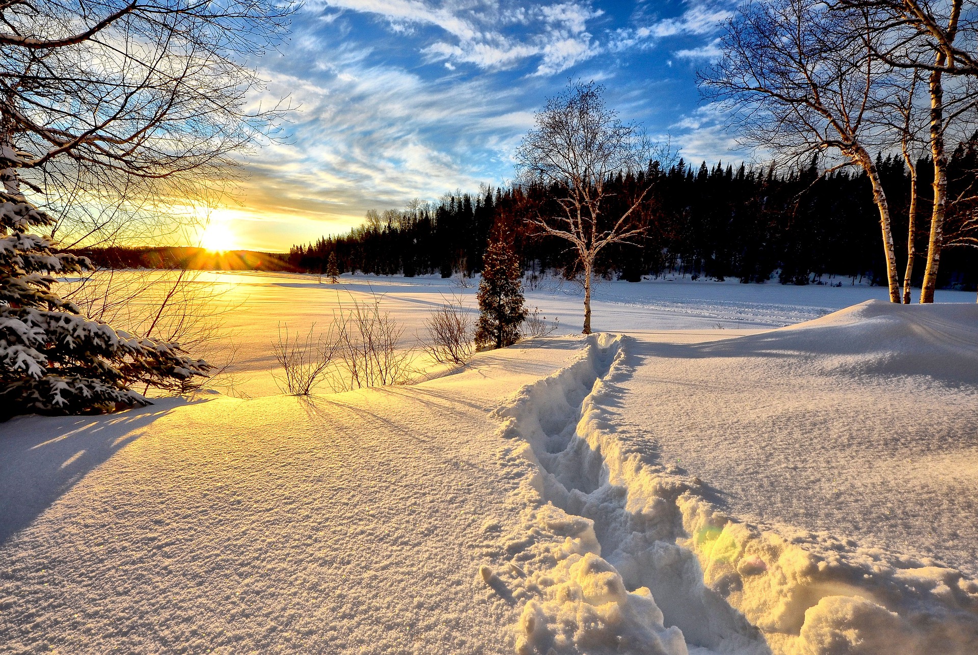
There will be more snowfall until Sunday, but on Monday, wintry high-pressure weather with plenty of sunshine is announced for the start of the semester break in Vienna and Lower Austria.
Heavy snowfall caused traffic obstructions throughout Austria on Thursday, especially on the northern side of the Alps. Large amounts of snow were expected.
The interplay of dense clouds on Friday
South of the main Alpine ridge and in Vorarlberg, there will be an interplay of dense clouds and sunny spells throughout the day on Friday. Further north and east, however, dense clouds will dominate throughout the day. From the cloud layer, it will also rain and snow frequently, but most of all from the afternoon hours in the northern backwater of the Alps between the Tyrolean Unterland and the Mostviertel. The snow line is between 700 and 1,000 meters above sea level. Initially, however, snowflakes may mix down to the lowlands in the northeast. The prevailing wind direction is west to northwest. During the day, north of the main ridge of the Alps, the wind will become brisk to strong in the mountains, stormy. Temperatures in the morning will be minus three to plus four degrees. Afternoon temperatures will reach five to eleven degrees.
Dense clouds dominate on Saturday along the northern side of the Alps.
From Vorarlberg along the northern side of the Alps to the Mostviertel, but also in East Tyrol and Upper Carinthia, dense clouds will dominate on Saturday. With a snow line between 400 and 1,000 meters above sea level, it will initially still rain and snow intensively. In the afternoon, however, the precipitation decreases overall. Further east and southeast, on the other hand, there will initially be a few denser clouds in addition to sunshine. Locally, these will also bring rain, for example, in the area of the Vienna Woods. From noon on, however, sunny weather can prevail more often. It will be stormy in the entire mountainous area but also over the lowlands in the north and east, strong wind gusts from west to north are expected in parts. Early temperatures will be minus three to zero degrees in the south; otherwise, plus one to plus five degrees. Daytime highs will be two to eleven degrees, with the highest values in the south.
Another disturbance zone moves over Austria on Sunday.
The Eastern Alps region will remain in a prominent northerly flow on Sunday. Embedded in this, another disturbance zone will move from the west over Austria during the day. It will snow and rain in the western half in the morning; towards evening, the precipitation will reach Lower Austria. With the onset of precipitation, the snow line rises from the west to 700 to 1,000 meters; in the east, it lies in the lowlands. The wind blows strong to stormy in the west with a disturbance elevator. Early temperatures will be minus five to plus two degrees, with daytime highs reaching minus one to eight degrees.
The last disturbance remnants dissolve on Monday
With increasing air pressure, the last remaining disturbances between the Tyrolean lowlands and the Mostviertel will dissolve in the morning. The afternoon will be sunny, in the south also foehn. The wind will blow moderately from northerly directions. Early temperatures will range from minus seven to minus two degrees, with daytime highs reaching minus two to plus six degrees.
- source: vienna.at/picture: Bild von Alain Audet auf Pixabay
This post has already been read 3639 times!


