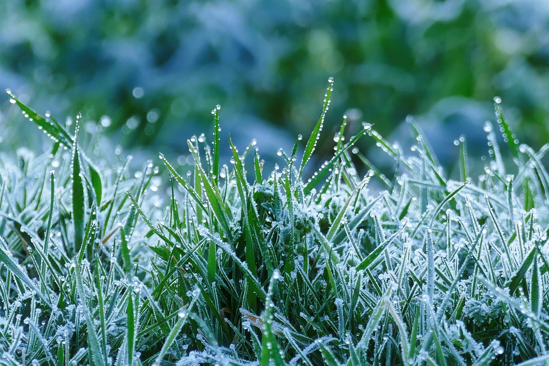
The Easter weekend will be frosty and changeable, according to the forecast of Geosphere Austria. As we search for Easter nests, temperatures in Austria will remain mostly in the single digits.
Good Friday starts with sub-zero temperatures; intermittent rain is possible.
On Good Friday, minus four to plus five degrees are still expected in the morning, with daytime highs of seven to 15 degrees, Geosphere Austria predicted. It is the warmest in the south of Austria. In addition to many dense clouds, the day in Salzburg, Upper Austria, and parts of western Styria and Carinthia will still show the sun. By the evening, however, the last gaps in the clouds will also close here.
Especially in the western parts of the country, as well as generally in the east and southeast, it will rain at times. The snow line from east to west is between 600 and 1,200 meters above sea level. The wind from the northwest will blow moderately in the east. Otherwise, the wind will be rather weak.
Rain and snowfall are possible in many places on Holy Saturday
On Holy Saturday, early temperatures will already reach zero to five degrees, and daytime highs will be five to 14 degrees. It will continue to be the warmest in the south. But the day will be largely cloudy. Only in the far west and south of the main ridge of the Alps will there be sunny spells.
From the east, however, rain and snowfall will spread to large parts of the country, with the snow line again ranging between 600 meters above sea level in the east and just over 1,000 meters above sea level west of Salzburg. There will be a weak to moderate wind from west to northeast.
Weather on Easter Sunday: Cool temperatures and rain showers
Easter Sunday will start in many places with dense clouds and some rain and snowfall. The snow line will be between 600 and 1,000 meters from east to west in the morning. It will clear up in phases in the day, and there will be a rapid change between the sun and clouds. Mostly local rain showers will still fall in the afternoon; the snow line will rise at least 800 to 1,500 meters.
The wind blows mostly only weakly from west to northeast. Early temperatures will continue to rise to between one and five degrees, with daytime highs between seven and 14 degrees.
A mix of sun and clouds: Easter Monday will be unsettled
Easter Monday will bring unsettled weather, especially over the eastern half of Austria, with an alternation of sun and clouds and short, unproductive rain showers. In the west and southwest, it will be mostly dry during the day, and the sun will show itself frequently. Only towards evening dense clouds of a disturbance without precipitation will reach Vorarlberg and the Tyrolean Oberland.
The wind will be moderate, in the east brisk from northerly directions. Early temperatures remain stable at one to five degrees, daytime highs at nine to 16 degrees, and the highest values in the west.
Another disturbance zone crosses Austria on Tuesday
On Tuesday, another disturbance zone will cross Austria from the west during the day and be active, especially in the north and east, with rain and showers. The snowfall limits are now between 1,300 and 1,800 meters. At the same time, the westerly wind will also pick up, sometimes strongly. It will remain precipitation-free and partly sunny in the south during the day. Otherwise, the clouds will clear after the passage of disturbances only during the evening hours.
The early temperatures will go slightly into the minus degrees and reach minus one to plus seven degrees, the daily highs nine to 17 degrees, with milder values in the south.
This post has already been read 2683 times!


