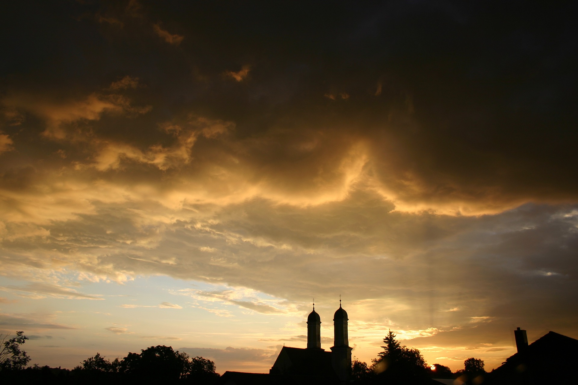
A cold front is battering Austria hard on Saturday. Violent thunderstorms are expected in the country’s east, among other places. This is where it’s supposed to crash.
According to the meteorologists of UBIMENT, behind the warm front follows the warm sector of the low, where with some sunshine, unstable air stratification can occur.
On Saturday, the cold front will also pass over the east during the day. On the northern side of the Alps and in the east, isolated rain showers will start early in the morning, while in the south, the day will be mostly sunny. Thunderstorms are expected between sunny spells in Lower Austria, Vienna, and Burgenland.
Later in the afternoon, thunderstorms are also expected from Lower Carinthia to Southern Burgenland, which, according to the forecast, “especially in the southeast, can also be locally strong and accompanied by heavy rain and hail.” Temperatures will rise to 15 to 23 degrees.
Sunday will start mainly dry in the mountains with residual clouds and away from the Alps, sunny in some areas. In Carinthia and Upper Styria, the clouds are more persistent in the morning. Moreover, spring clouds form over the mountain and hill country. Subsequently, local rain showers fall significantly in the main ridge of the Alps and East Tyrol and Carinthia. In the north and east, it will remain friendlier and mostly dry. Highs will range between 14 and 20 degrees.
This post has already been read 3825 times!


