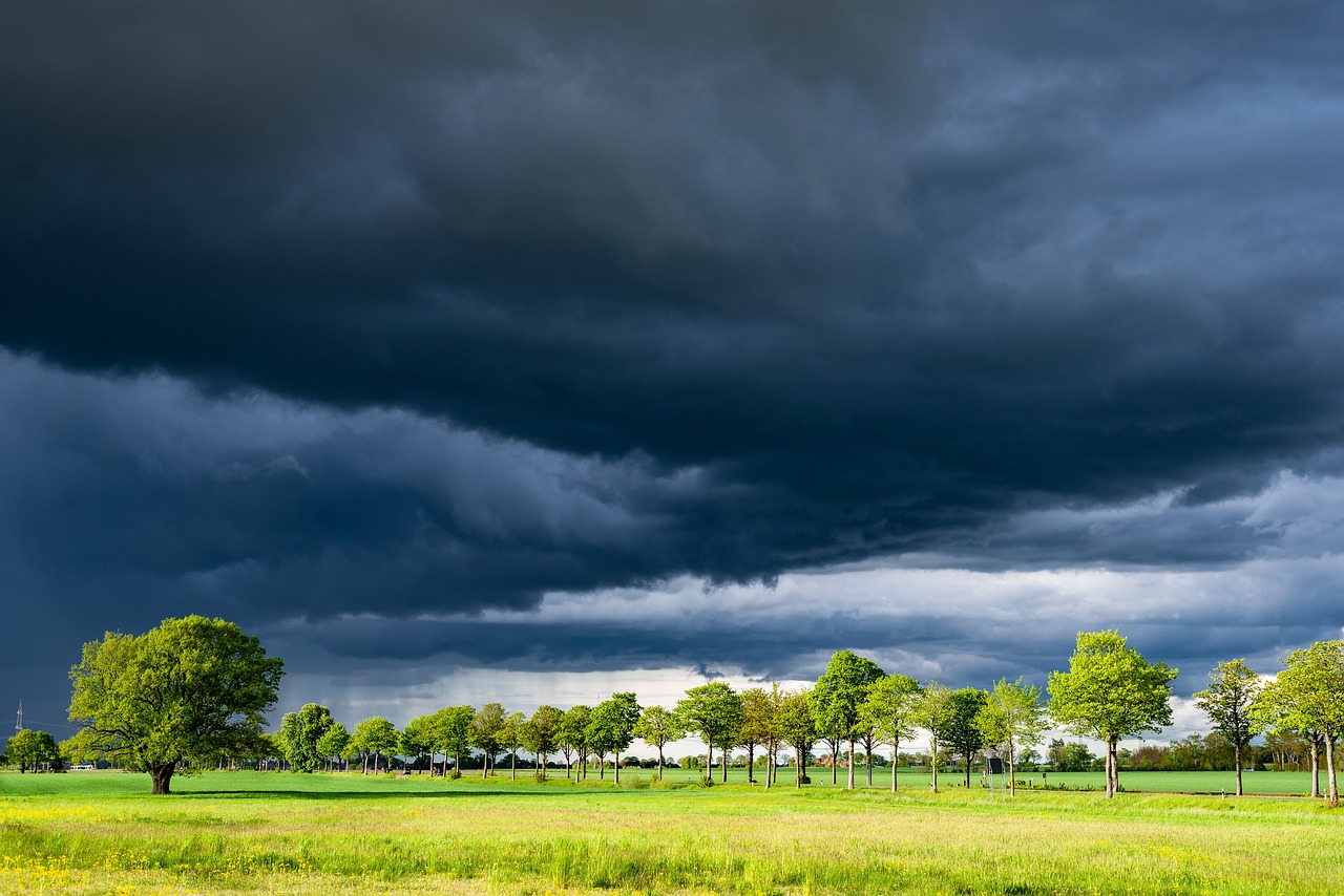
Constantly unstable—that seems to be the motto of the spring weather in Austria. The next few days will bring almost everything: sun, rain, thunderstorms, and wind. It will be particularly hot at the weekend, with temperatures of up to 29 degrees, as forecast by Geosphere Austria on Thursday. From Monday on, temperatures will drop slightly, but highs of up to 24 degrees are still possible.
On Friday, spring clouds will develop quickly in the morning, and the first showers will appear in the west. Otherwise, the morning will bring dry and sunny weather. In the afternoon, showers and thunderstorms will develop again from the mountains, with the main focus in the south-east of the country. Moderate westerly winds will blow on the northern side of the Alps. Otherwise, it will be lightly windy, apart from thunderstorms. Early temperatures will range from 11 to 17 degrees. Daytime highs will then rise to 23 to 28 degrees.
Apart from local patches of early morning fog, Saturday will start sunny. Starting in the mountains and hills, rain showers and thunderstorms will form again and spread to the lowlands in the afternoon. Away from the shower and thunderstorm cells, only weak to moderate winds will blow from south to west. Early temperatures will range from 12 to 18 degrees, with daytime highs of 23 to 29 degrees.
On Sunday, heavy cumulus clouds will appear in all regions of Austria in the morning, and the first thunderstorms will fall quickly. In the afternoon, the focus of the thunderstorms will increasingly shift to the north side of the Alps and the north-east. There is potential for damage locally and it will remain thundery in the evening and overnight. Strong gusts of wind are to be expected. Apart from the showers and thunderstorms, it will be lightly windy. Early morning temperatures will remain between 11 and 19 degrees, daytime highs will mostly be between 22 and 29 degrees, and it will be regionally humid.
Cold front on Monday
A low center will be over eastern Austria in the early hours of Monday morning. During the first half of the day, this will cause thunderstorms and showers, some of them heavy, to the east of the Tyrolean lowlands. As the day progresses, the low-pressure center will shift to the northeast, and thunderstorms will only occur in the far east and southeast. The heavy cloud cover of a cold front will move in from the northwest, with persistent rain, especially in the north. By the evening, most of the precipitation in the east will subside again, but it will remain very cloudy overall. The westerly wind will pick up strongly, with gale-force gusts on the eastern edge of the Alps. Early temperatures are forecast at 13 to 20 degrees, and afternoon temperatures from west to southeast are only 13 to 24 degrees.
On Tuesday, heavy-to-cloudy conditions with light rain will prevail. A few sunny spells and hardly any precipitation can be expected in the far east between the Weinviertel and south-eastern Styria. Weak to moderate winds from west to north. After early temperatures of nine to 16 degrees, highs will rise to 13 to 23 degrees.
- source:APA/picture: Bild von Bernhard Jaeck auf Pixabay
This post has already been read 14146 times!


