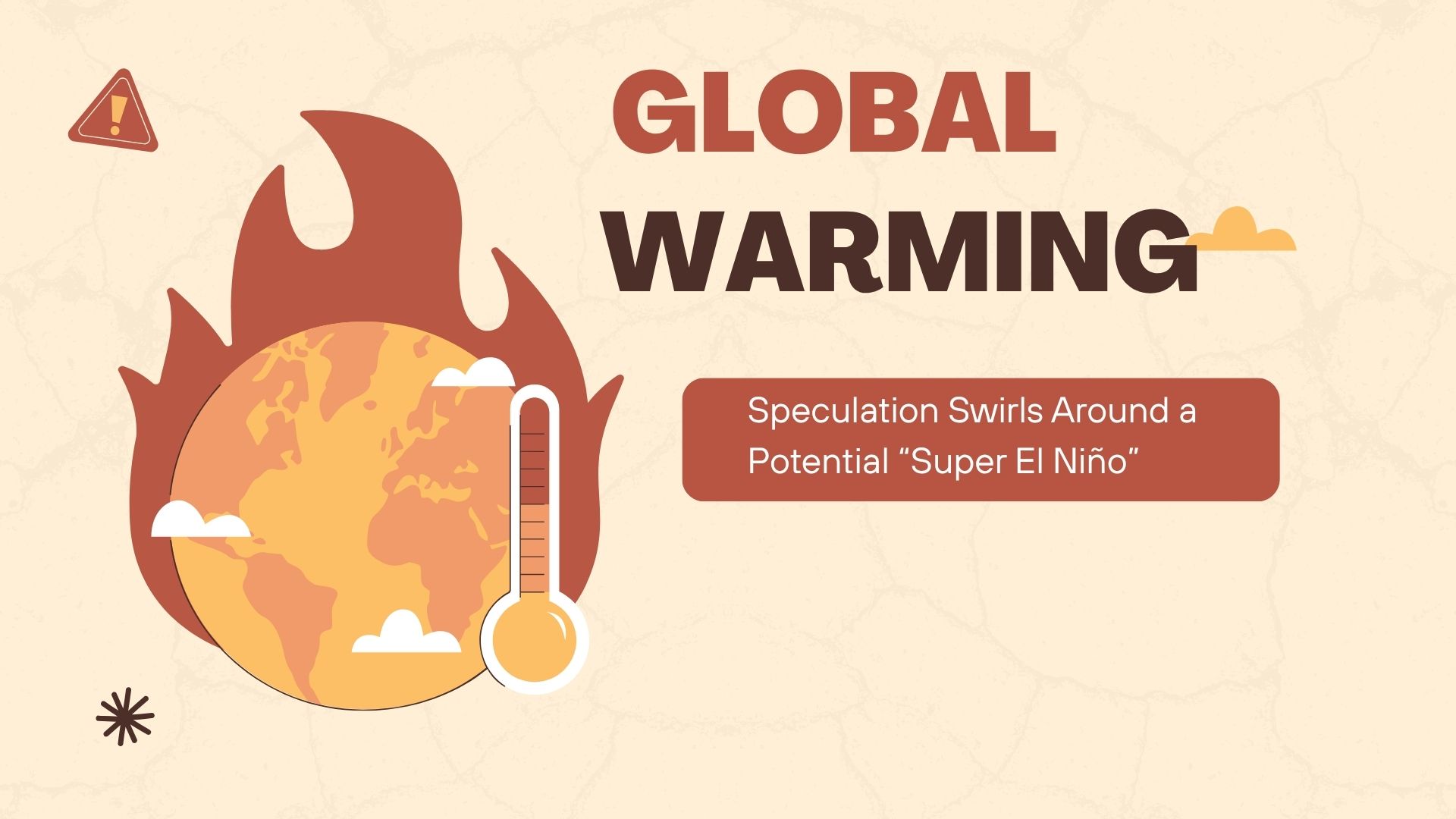
As global temperatures continue their relentless climb, climate scientists are watching the Pacific Ocean with growing unease. A powerful El Niño may be forming—possibly even a so‑called “Super El Niño,” an unofficial term used by some experts to describe exceptionally intense events. If it materializes, it could shape weather patterns across the planet well into next year.
A Climate Wild Card in a Warming World
According to the U.S. National Oceanic and Atmospheric Administration (NOAA), there is a 62 percent chance that an El Niño will develop between June and August. El Niño is a natural climate phenomenon in which surface waters in the equatorial Pacific warm significantly, disrupting global weather systems. The consequences can be dramatic: flooding in some regions, severe drought in others.
But will this year bring an unusually strong version of the event?
Climate researcher Mojib Latif of the Helmholtz Centre for Ocean Research Kiel urges caution. “I would say 50:50—it may happen, or it may not,” he explains. The term “Super El Niño” is not part of any official climate classification, but scientists sometimes use it informally to distinguish the most extreme events from more moderate ones.
The Unpredictable Power of the Winds
The key to El Niño’s strength lies in the behavior of Pacific trade winds—an element that remains stubbornly unpredictable.
Latif notes that the subsurface Pacific is already primed: the upper 300 meters of the crucial region contain unusually warm water. “Everything is developing by the textbook,” he says. “But then there are these random wind fluctuations that can push the system in different directions.” Those fluctuations make precise forecasts nearly impossible.
If the winds shift in the right way, a strong El Niño could emerge by Christmas. And if not this year, Latif believes the conditions could favor one next year. “The heat in the Pacific is there. You can’t remove it. It can only be transported away through the atmosphere—which is what an El Niño does.”
A Global Domino Effect
When El Niño takes hold, warm water and moisture migrate toward the normally arid coasts of South America. The result can be catastrophic flooding there and, through a chain reaction in the atmosphere, in parts of East Africa as well.
Meanwhile, regions such as Southeast Asia, eastern Australia, and parts of southern Africa often face the opposite problem: drought, crop failures, and heightened wildfire risk. Its counterpart, La Niña, tends to produce roughly opposite patterns.
Europe: Mostly on the Sidelines
For Central Europe, the effects are far more muted.
“El Niño has only a very weak influence on Europe,” says Daniela Domeisen of ETH Zurich. The continent is simply too far from the tropical Pacific, and the atmospheric signal becomes distorted by other weather systems long before it arrives.
If any effect reaches Germany, Austria, or Switzerland, it might slightly increase the likelihood of cooler, wetter conditions—but Domeisen stresses that such predictions are highly uncertain at this stage.
Even a strong El Niño rarely produces weather in Central Europe that stands out from normal variability, says Armin Bunde, emeritus professor at the University of Giessen. Indirect effects, however, can be felt: crop failures in the Pacific region can drive up global prices for commodities such as sugar, coffee, and cocoa.
Is Climate Change Making El Niño Stronger?
Surprisingly, the data so far do not show a clear trend. Bunde notes that since global warming accelerated around 1970, there has been no robust evidence that strong El Niños have become more frequent. The same holds true for La Niña.
Yet Latif points to something more subtle—and more concerning. Despite recent La Niña‑like conditions, which typically cool global temperatures, both ocean and air temperatures have remained unusually high. “Even under those conditions, we were already on track for record warmth,” he says.
Today, with the Pacific in a neutral state, global temperatures are again approaching record levels. “This shows how much global warming is already taking over,” Latif warns.
Riding on a Higher Baseline
If an El Niño does develop, it could push global temperatures even higher. But Latif emphasizes that the underlying driver is the long‑term warming trend. El Niño and La Niña now unfold on a higher temperature baseline than in the past.
In fact, he notes, the world could set a new global temperature record even without an El Niño.
- source: orf.at/picture: canva.com
This post has already been read 10164 times!