The World Meteorological Organization (WMO) is sounding the alarm once again: signs are mounting that a powerful El Niño is forming in the tropical Pacific, potentially pushing global temperatures to new record highs in 2026. Sea‑surface temperatures have been rising rapidly, and climate models show a high likelihood that El Niño conditions will strengthen in the coming months.
Rising Ocean Heat Points to a Strong Event
Satellite data and ocean measurements reveal unusually warm waters across the central and eastern Pacific—conditions that typically precede El Niño. Subsurface temperatures are also significantly above average, providing a reservoir of heat that is now surfacing. According to the WMO, these warm anomalies are “fueling the development of El Niño,” with an 80% likelihood of full formation by June–August 2026 and a probability above 90% that it will persist into late autumn.
The U.S. Climate Prediction Center similarly reports an 82% chance that El Niño will emerge by mid‑2026 and continue through the Northern Hemisphere winter. However, forecasters caution that the “spring predictability barrier” still limits certainty about how strong the event will become.
What Makes a “Super El Niño”?
The term “Super El Niño” is not officially used by the WMO, but it is often applied to exceptionally strong events—such as those in 1982/83, 1997/98, and 2015/16—when temperature anomalies in the Niño‑3.4 region exceed roughly +2°C. Current model projections for 2026 show a wide range of possible outcomes, from moderate to potentially very strong warming. Some long‑range analyses even suggest that rapid subsurface heating and strong westerly wind bursts could push the system toward Super El Niño territory by late 2026.
Still, scientists emphasize uncertainty: ensemble forecasts for September 2026 show Niño‑3.4 anomalies ranging from +1.7°C to +3.3°C, illustrating how difficult it is to pinpoint the eventual peak.
Global Consequences Already Taking Shape
El Niño is one of the most influential climate patterns on Earth, reshaping rainfall, drought, and storm activity worldwide. Typical impacts include:
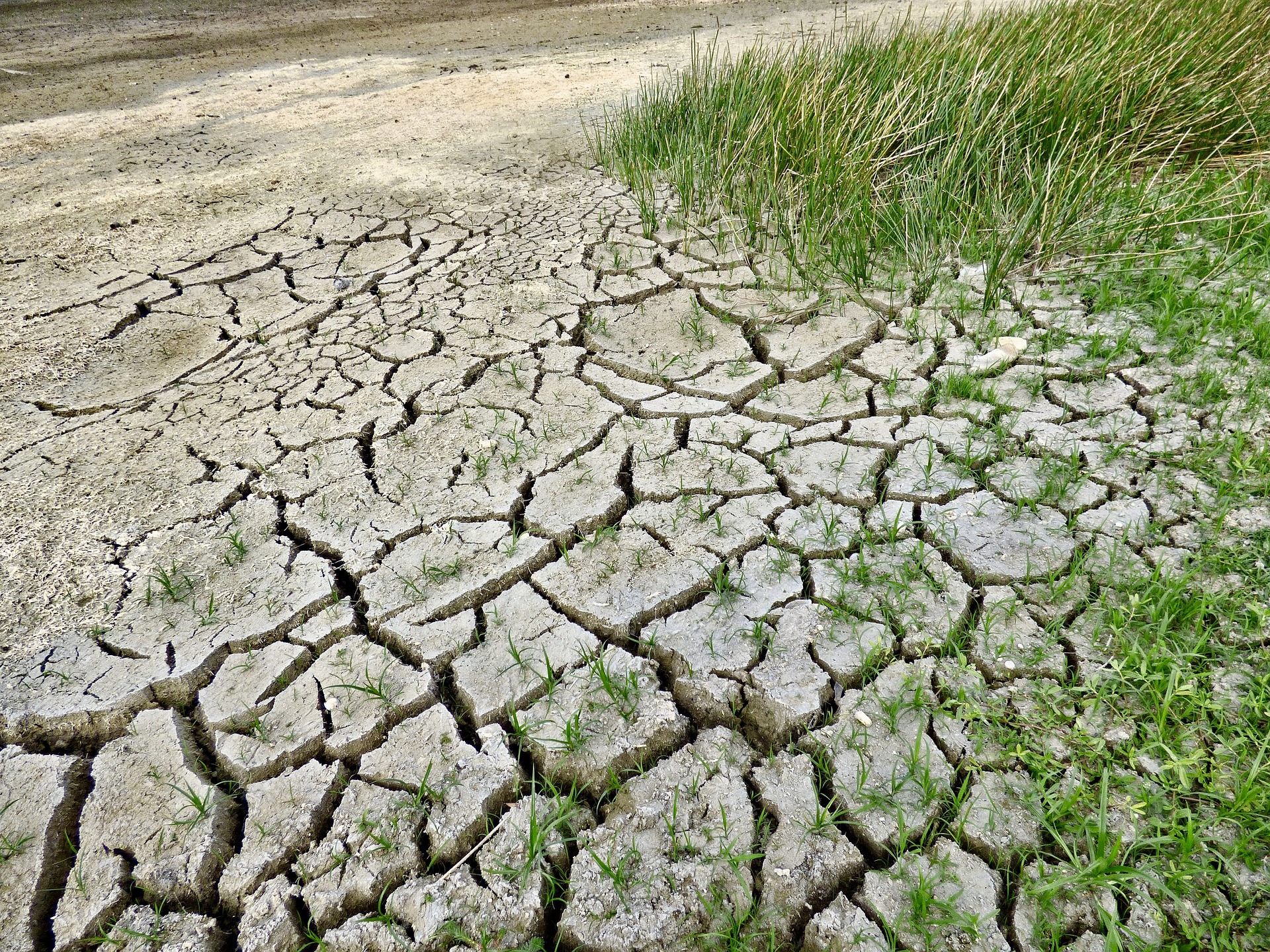
- Heavy rainfall and flooding in parts of South America and East Africa
- Drought in Australia, Indonesia, and parts of Southeast Asia
- More hurricanes in the central/eastern Pacific but fewer in the Atlantic
- A global temperature boost, often making El Niño years among the hottest on record
The WMO notes that El Niño events “typically have a warming effect on the global climate,” and with oceans already absorbing more than 90% of excess heat, the world is entering this phase from an unusually warm baseline.
Europe: Indirect but Significant Effects
Europe is not usually hit by dramatic El Niño–driven weather extremes. However, global ripple effects—such as crop failures, commodity price spikes, and disruptions to supply chains—can still be felt. A strong El Niño also increases the likelihood that global average temperatures will temporarily exceed key climate thresholds.
Outlook: A Critical Year Ahead
While scientists agree that El Niño is very likely to form and intensify in 2026, the question of whether it will reach “Super” strength remains open. Forecast confidence will improve after spring, but early indicators point to a potentially powerful event with far‑reaching consequences.
If the upper end of current projections materializes, 2026 could become one of the most consequential El Niño years in decades—another stark reminder of how climate change amplifies natural climate cycles.
- source: heute.at/picture: pixabay.com
This post has already been read 14221 times!