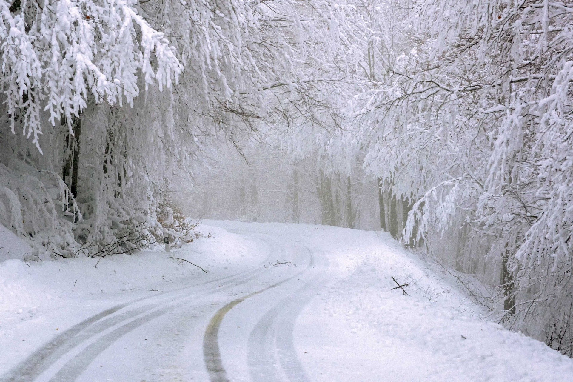
“On Friday it will snow in many regions of Austria. Only at very low altitudes it is still rain or sleet in places. Black ice due to freezing rain is also possible, especially in the eastern half of Austria. The snow line is mostly between 200 and 400 meters, in East Tyrol, Carinthia and southern Styria partly still around 1,000 meters,” elaborated Thomas Krennert of ZAMG. “On Saturday, it will snow and rain at times, especially on the southern side of the Alps, everywhere else it may clear up a bit. On Sunday, snowfall will become more frequent again throughout Austria. At very low elevations, it may also be rain or sleet.”
Those traveling by car must expect wintry driving conditions Friday through Sunday, especially on higher roads. This also applies to some highways, such as in the area of Brenner, Pack and Wechsel, as well as generally on the Tauern Highway, meteorologists said.
It will remain cold and cloudy at the weekend
A low-pressure system will shift eastward in the first half of the day on Sunday, so that the eastern Alpine region will again be exposed to a gush of cold air from the northwest. Snowfall and sleet will temporarily subside everywhere in the morning and the sun will appear. The disturbing influence remains in parts of Austria and brings some snowfall in the western half and sleet in the southeast in the afternoon. In the Danube region, the wind will pick up from westerly directions. With early temperatures of minus five to plus one degrees and daily highs of minus one to plus six degrees in the southeast, it will remain cold.
Monday weather in Vienna
The northern side of the Alps will be cloudy with snowfall, which will be heavy between the Bregenzerwald and the Pinzgau. East of this, only isolated snow showers are expected. In the east and south, it will remain mostly precipitation-free and sunny in many places during the day. Except in the south, cold winds will blow from the west. Depending on the wind, early temperatures will be minus nine to minus one degree, daytime highs minus two to plus four degrees.
The eastern Alpine region will remain in a northwesterly flow on Tuesday, on the ground the air pressure will increase again somewhat from the west. Thus, it will be widespread cloudy, in the north continuously overcast and only in the very south there will be intermittent brightening. Especially north of the main ridge of the Alps it will snow, with the snow line gradually rising again to about 1,000 meters from the west. In the southeast and east, it is mostly precipitation-free. Except in the south, a brisk westerly wind will blow. The thermometer will show minus five to zero degrees in the morning, in the south with severe frost even down to minus 13 degrees. During the day, a maximum of minus three to plus five degrees, according to the ZAMG forecast.
- sources: nachrichten.at/vienna.at/APA/picture:pixabay.com
This post has already been read 1857 times!