
Unsettled weather remains this week in Austria, with temperatures in particular subject to fluctuation. On Wednesday, the thermometer may climb back up to 10 degrees, then it will go steeply downhill again.
Central Europe is under the continuing influence of low pressure and on the edge of an extensive blocking high over the Atlantic, cool air masses of Arctic origin also enter the country at the beginning of the week.
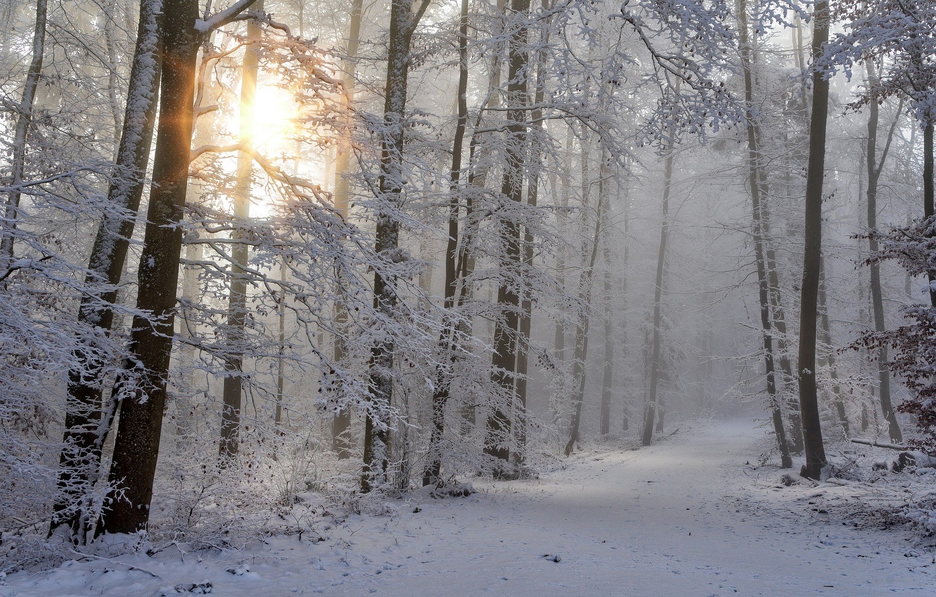
On Monday, the unsettled and cold weather will continue. Clouds will dominate from Vorarlberg to the Waldviertel, in the congested areas of the Northern Alps from the Bregenzerwald to the Mostviertel it will snow at times. Especially in the western Northern Alps, several centimeters of fresh snow will accumulate. Away from the Alps, with the brisk westerly wind, only isolated showers will pass through and especially in the eastern lowlands, friendly phases will pass. South of the main ridge of the Alps it is slightly foehny, here even the sun shines frequently. With a maximum of only -2 to +5 degrees, it will remain early winter cold, especially on the northern side of the Alps and with a brisk westerly wind in the Danube region.
Heavy snowfall on Tuesday evening
During the day on Tuesday, a marginal low pressure system will pass over Denmark, closely followed by an Atlantic low pressure system. On the northern side of the Alps, snow showers will move through from early in the morning and in the second half of the day, snowfall will become more frequent here again. In the evening, it snows persistently and intensively in the Northern Alps. Calmer, with sunny clearings, it remains only in the extreme south and southeast. In addition, there will be -1 to +5 degrees.
Up to 10 degrees in the middle of the week
On Wednesday, the meteorological beginning of winter, Central Europe will come under the influence of a mild westerly flow. East of Salzburg, some rain will fall at first, snow will only be an issue above 1000 meters. During the day, dry and partly sunny weather will prevail, with most sunshine hours in the south and in the central mountains. In the evening, from Vorarlberg to the Mühlviertel, rain or snowfall above about 1000 m will set in again. The initially strong westerly wind in the north and east will ease during the day and temperatures will rise to 1 to 10 degrees, with the mildest temperatures in the Vienna Basin.
Thursday will again be cloudy and often wet, especially in the mountains, with the snow line dropping to between 800 and 600 meters. After a temporary improvement, the low pressure influence tends to continue on the 2nd Advent weekend.
Disturbance zone moves away on Friday
Along the northern side of the Alps, Friday will start with residual clouds and snow at times, cloud fields will also lie over the southeast. Gradually, however, the disturbance zone will move to the southeast and with rising air pressure, very sunny weather will prevail everywhere. The wind will still blow moderately from west to northwest in the east, otherwise it will be rather light. Early temperatures minus eight to plus one degrees, daily highs minus two to plus five degrees.
- sources: APA/vienna.at/picture:pixabay.com
This post has already been read 1910 times!


