
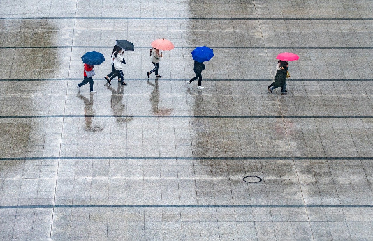
The summer continues to take a break. At the weekend, we have to prepare for cooler weather; you should always have an umbrella with you. You can find the forecast in detail here.
The summer weather in Austria takes a break. The weekend will be wet across the country and bring lower temperatures, as the forecast of Geosphere Austria (formerly ZAMG) from Thursday shows. A common with the core over Upper Italy will increasingly determine the cooler weather in Austria from the south on Friday. Even before that, the sun will only appear intermittently next to many dense clouds.
Italian low provides cooler weather from Friday.
From the cloud layer on Friday, there may also be local rainfall. During the afternoon, the precipitation intensifies and becomes apparent in the west and south. In southeastern Styria and southern Burgenland, thunderstorms may also occur. It will remain weakly windy. Early temperatures range from 13 to 19 degrees, and daily highs range from 18 to 26 degrees.
Heavy rain on Saturday
The Italian low will continue to dominate most parts of Austria at the beginning of the weekend. The sky in the country is mostly cloudy, and it rains persistently and intensively. The precipitation focus is initially in the northern backwater of the Alps between the Tyrolean lowlands and the Mostviertel, as well as in the south. In East Tyrol and Carinthia, the precipitation will slowly decrease in the afternoon. Chances of a brief clearing are most significant in the far west of the country in the afternoon and in the south, Geosphere forecasts. The wind will blow weakly. The thermometer will not get above 13 to 18 degrees in the morning; it will remain at 15 to 21 degrees during the day.
Sunday is also dreary, and thunderstorms are possible
On Sunday, the weather will continue to be dreary. The sky will be cloudy, and some areas will have rain. In the south, thunderstorms are expected in the afternoon. The sun will appear more often from noon, and the precipitation will slowly decrease. On the northern side of the Alps, from the Bregenz Forest to the Salzkammergut, it will be cloudy all day, and rain will persist. In the north and along the main ridge of the Alps, the wind will blow briskly to enormously from west to northwest, otherwise weaker. Temperatures range from nine to 17 degrees in the morning. During the day mostly 14 to 23 degrees.
Temperatures at the start of the week with a maximum of 23 degrees
The new week begins in the first half of the day, mainly with many clouds in the sky and it rains. The precipitation subsides – except on the northern side of the Alps – and the sun sometimes shines. The snow line settles between 1,700 and 2,000 meters above sea level on the north side of the Alps. In the south, the weather is somewhat better. Here, the sun shines more often, and it often remains dry. There will also be moderate, strong winds from west to north in the northeast. The early temperatures will be between seven and 15 degrees, and the daily highs will be between 14 and 23 degrees. According to the Geosphere forecast, it will be warmest in the southeast.
It will continue to be cloudy on Tuesday, according to the current forecast. Only the eastern half of the day starts primarily sunny. Rain showers are expected along the northern side of the Alps from Salzburg eastward, as well as in the north. Otherwise, it will remain dry in many places. The wind will blow weakly to moderately from southwest to west. Early temperatures are forecast for seven to 14 degrees, and daytime highs are expected to be 16 to 24 degrees.
- Source: vienna.at/picture: pixabay.com
This post has already been read 4780 times!


