For the time being, the weather will remain wintry. At the start of the week, mild air at high altitudes will also bring temporary rain and a risk of black ice, according to the Geosphere Austria forecast on Sunday.
On Monday, apart from a few breaks in the east and southeast, the sky will often be gray, and precipitation is expected at times, especially from northern Vorarlberg to the north of Waldviertel. Initially, this will often be snowfall, which will quickly turn to rain.
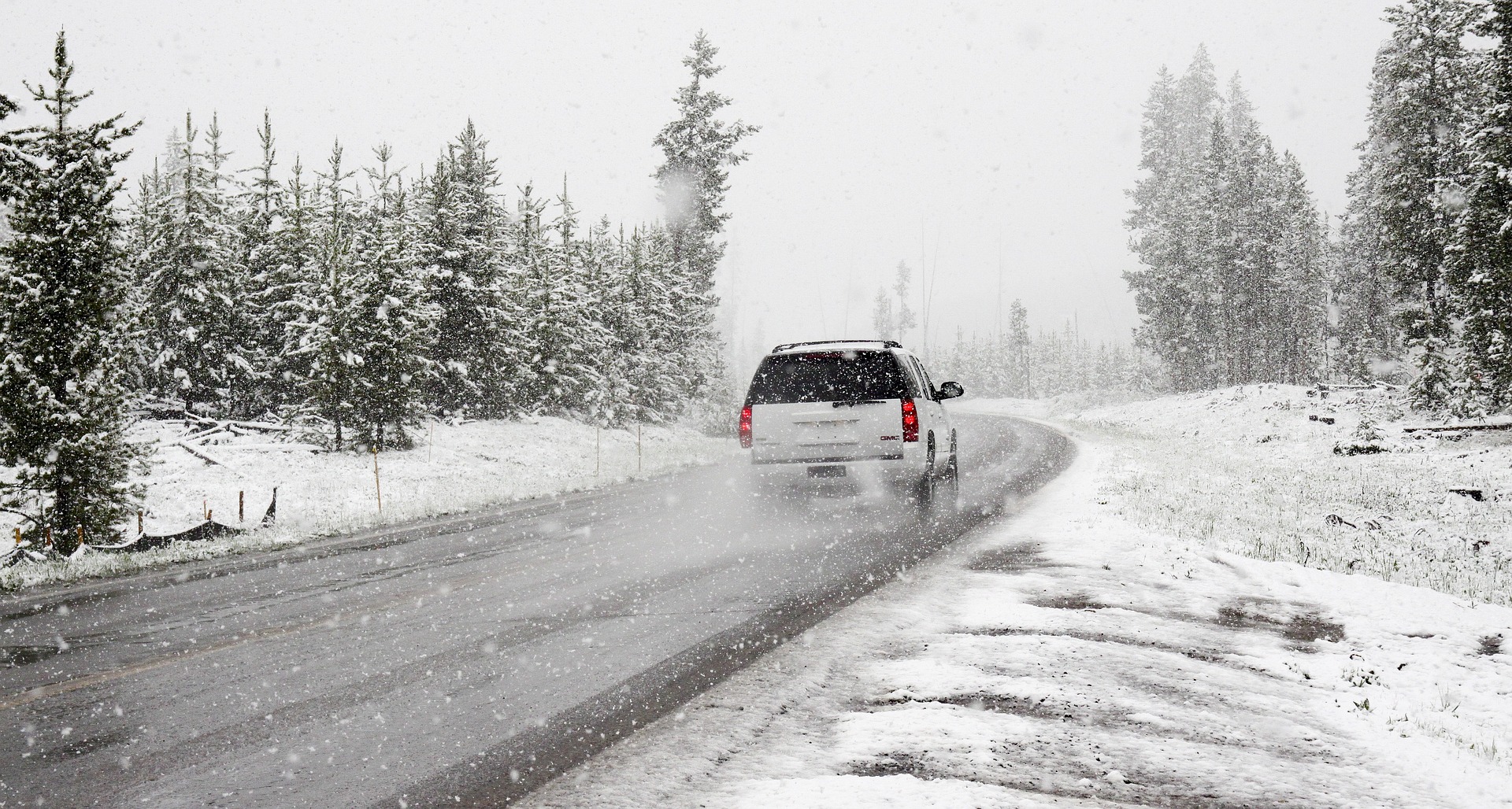
There is a risk of black ice in places due to freezing rain. In the afternoon, precipitation will set in in the southwest. The snow line will rise to 800 to 1,400 meters above sea level. The wind will be light to moderate, brisk to strong at times, along the northern side of the Alps, blowing from the southeast to the west. Early in the morning, temperatures will range from minus eleven to plus two degrees, and in the afternoon from minus one to plus eight degrees, with the highest values in the west and at medium altitudes.
The sky will be cloudy on Tuesday, and precipitation is expected at times, which may last longer, especially in the south, but also in some northern areas. In the afternoon, however, it will often already be dry in the northeast. The snow line will vary between 400 and 1,500 meters above sea level, with the highest levels in the southeast. The wind will be light to moderate, blowing from the southwest to the north. Early temperatures will range between minus four and plus three degrees, with afternoon temperatures between zero and plus six degrees.
Disturbance on Wednesday
A disturbance and relatively cold air masses will bring frequent snowfall on Wednesday, especially on the northern side of the Alps and in the north and northeast, with sleet or rain at low altitudes below around 300 meters above sea level. The precipitation will only slowly subside in the evening and at night. The south is expected to have favorable weather, but details of the exact weather pattern are still uncertain. The wind will often be moderate to brisk from the west to northwest on the eastern edge of the Alps. In the morning, temperatures are expected to range from minus seven to plus two degrees, with daytime highs of zero to plus five degrees.
On Thursday, numerous low, high fog-like residual clouds will initially persist on the northern side of the Alps, in the north, and in the northeast. There may also be a few snowflakes in the mountains. However, it will gradually clear up from the west during the day, and the sun will prevail in many regions. The weather will generally be favorable and mostly sunny in the south and southeast. The wind will be mostly light, with only moderate northwesterly winds in the east, with early temperatures ranging from minus ten to zero and daytime highs from zero to plus five degrees.
Sunshine on Friday
On Friday, the sun will shine in many regions under the influence of high pressure, and significantly milder air masses will be brought in from the west at higher altitudes. However, fog and high fog may persist over the lowlands in the north, parts of the inner Alps, and in basins in the south. The wind will be mostly light. Early morning temperatures will range from minus 13 to minus one degree, with daytime highs of minus two to plus six degrees, with the higher values at medium altitudes.
- source: vienna.at/picture: pixabay.com
This post has already been read 3859 times!