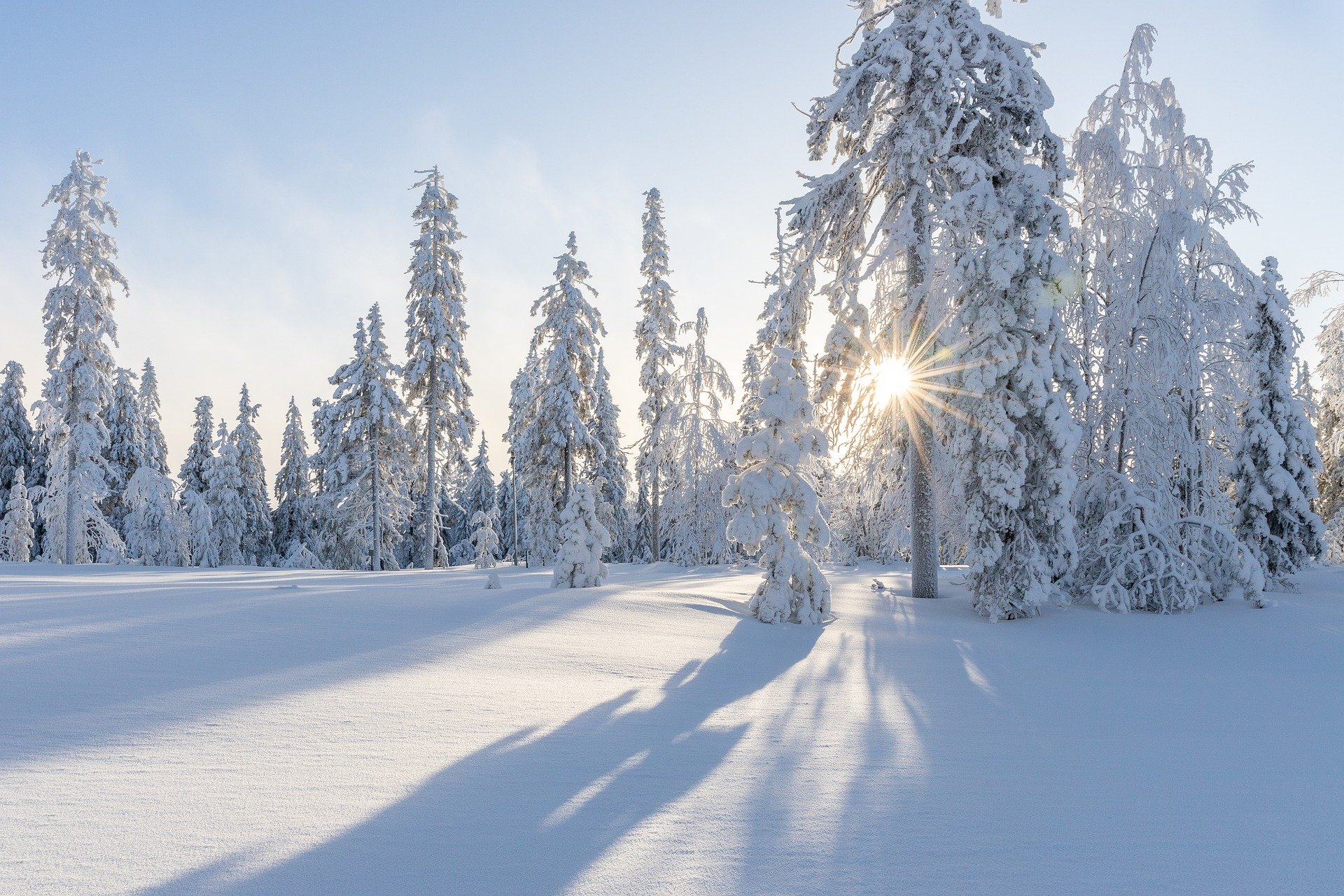
The weather on the Feast of the Immaculate Conception brings new masses of snow to Austria. In some regions, the highest severe weather warning level has been issued.
On Wednesday, the frontal system of a low-pressure area with a core over the British Isles reaches the west of the country. On its back, cold air masses flow to Europe, an Italian low forms. On Wednesday and Thursday night, it will bring heavy snowfall in the west and south, and widespread winter conditions. In the course of Thursday, the snowfall slowly subsides, already on Friday the next front makes itself felt in the west.
On Wednesday, the Feast of the Immaculate Conception, the sun will shine at times in the eastern half, away from some high fog patches. From Vorarlberg to Upper Carinthia, on the other hand, clouds will predominate, in the far west some snow will fall from early morning and in the second half of the day the snowfall will spread with intensification. Especially in Carinthia, it will snow heavily again from the evening hours. In the east, a brisk to strong southeasterly wind will freshen, in the Northern Alps it will be foehny. Gentle snowfall is also possible here. Temperatures will mostly range between -4 and +1 degrees, only occasionally up to +4 degrees with Föhn.
On Wednesday evening, the Föhn will end from the west and overnight the snowfall will spread from the southwest to most of the country. Thereby, it will snow heavily from Vorarlberg to Carinthia, the largest amounts of new snow will accumulate in the Lesach and Gail valleys.
The weather experts have already issued the highest storm warning level purple in the region. From Vorarlberg to Tyrol and beyond Lake Wörthersee, the warning level is red.
A widerspread heavy snowfall will occur on Thursday especially from Vorarlberg to Carinthia. In the afternoon and evening, the snowfall tends to decrease and is then most likely to be limited to the Tyrolean lowlands, the Salzburg region and Upper Austria. The wind will be moderate and shift to westerly directions. Maximum temperatures will reach -3 to +3 degrees.
On Friday, the weather will calm down, especially in the northern Alps and on the eastern edge of the Alps the sun will shine. In the lowlands and in the southern basins, fog and high fog often persist tenaciously, from Vorarlberg to the Inn and Mühlviertel, dense clouds move through during the day and some snow falls here towards evening.
- source: heute.at/picture:pixabay.com
This post has already been read 1744 times!


