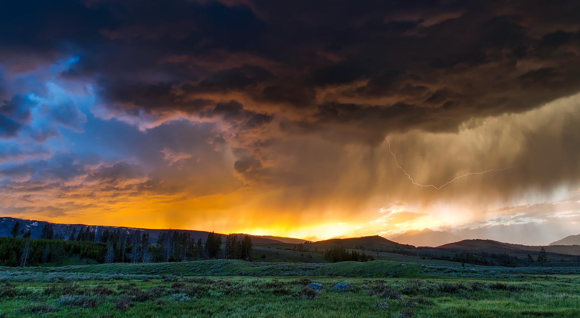
A cold front will temporarily end the heat with thunderstorms and heavy rain. According to ZAMG, however, there will be no natural cooling, as temperatures will remain around 30 degrees this weekend.
The Vienna weather in detail
Due to an upper Italian low, repeated precipitation and heavy rain in some areas must be expected today, Friday, mainly from Vorarlberg to Upper Austria, the ZAMG forecast.
On the southern side of the Alps, there will be frequent thunderstorms and heavy showers tomorrow, which can also be rich in places. On the other hand, clearings and even more oversized sunny windows are again expected in the east and southeast. However, in the hot and partly muggy air mass, the tendency for showers and thunderstorms will also increase significantly there from the later afternoon, according to ZAMG.
On Friday, still sultry 35 degrees possible in the east of Austria.
The wind near the ground will blow on Friday far from shower lines or thunderstorms, often only relatively weak, at the eastern edge of the Alps. However, the wind from southerly directions can sometimes freshen up briskly for a few hours. Also, early temperatures with 14 to 24 degrees, daytime highs follow with continuous rain quite in the west with often only around 20 degrees, in the sunniest locations in the far east, however, still up to about 35 degrees.
Saturday starts cloudy and rainy, but with sunny windows.
Especially on the northern side of the Alps and in the northwest, it will be mostly cloudy on Saturday with at least regional precipitation and only occasional gaps in the clouds in between. Also, at the very least, it will be mostly cloudy and rainy at first, but the clouds should clear up again and again during the day. On the southern side of the Alps, most sunny hours will be due to foehn effects, and there will be only very isolated showers. In the Danube region, on the eastern edge of the Alps and in the eastern lowlands, as well as in foehn zones on the southern side of the Alps, there will often be a brisk, sometimes even strong wind from west to northwest. In the morning, the thermometer will show 13 to 21 degrees and 20 to 28 degrees during the day.
Sunny start to Sunday
On the northern side of the Alps, some clouds will be on Sunday, and a few rain showers will fall, especially from Tyrol to western Lower Austria. Otherwise, the day will already start partly sunny; in the inner Alps, there may also be shallow fog. During the day, most clouds will move east, and the showers will decrease; the clouds will last longest from the Weinviertel to southern Burgenland. Otherwise, the afternoon will already be very sunny. In the eastern half of the region, the wind will blow moderately to briskly from west to north; to the west, it will be relatively light windy with early temperatures of eleven to 20 and daytime highs of 22 to 28 degrees.
Temperatures rise again at the start of the week.
Generally, it will continue sunny and dry on Monday. However, a few clouds may appear, on the one hand, increasingly in the east, on the other hand, entirely in the west. In Burgenland, there may also be a few raindrops from time to time. The wind will be light to moderate on the eastern edge of the Alps, also brisk from northwest to north. Early temperatures will reach ten to 19 degrees, with daytime highs between 23 and 28 degrees.
Tuesday will be generally sunny, with only a few harmless spring clouds forming, dissipating towards evening. The wind will be light to moderate in the mountains and on the eastern edge of the Alps, occasionally brisk from west to north. Regionally, the daily highs can again reach up to 30 degrees, according to ZAMG.
- sources: APA/vienna.at/picture: Bild von David Mark auf Pixabay
This post has already been read 1762 times!


