The weather remains unsettled; on Thursday, even snowfall is forecast once again. But shortly after, a summer day will blossom for us.
Also, at the beginning of the new week, April is moody; in the sphere of influence of an easterly current, it remains changeable and has a maximum average temperature. “Spring just doesn’t want to get going in April this year,” writes UBIMET meteorologist Konstantin Brandes. On Thursday, there should be a brief comeback of the winter roller with snowfall down to just below 1,000 meters.
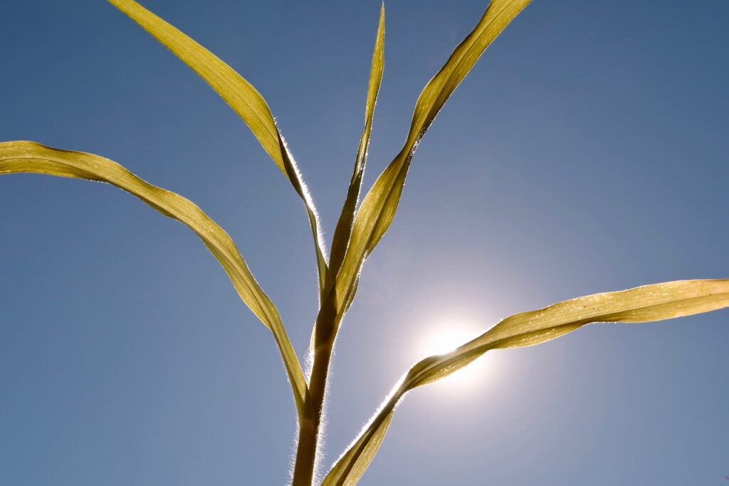
After that, however, according to his forecast, much warmer and reasonably consistent spring weather should finally assert itself; even chances for the first summer day of the year exist from today’s perspective.
In the past few days, there was heavy rain and snowfall throughout the country, on the eastern edge of the Alps and in the Vienna Basin; according to Brandes, “considerable amounts of precipitation between 60 and 100 l/m² accumulated.” For comparison: the average monthly precipitation for Vienna in April amounts to not even 50 l/m².
But the absolute leader since Wednesday was the Mostviertel, in Waidhofen/Ybbs, 121 litres per square meter accumulated until Sunday morning, and 116 l/m² were in Oberndorf/Melk. Due to the relatively low snow line, the danger of flooding along the larger rivers remained low. On the other hand, smaller rivers and streams also carried a 5- to 10-year flood in some places.
Lake Neusiedl also rose by about 8 cm, but it remains at a record low level for the season. The previous year’s story (a previous negative record) is missing two more rain lows; on the long-term average still good at 50 cm!
“Striking amounts of precipitation are no longer expected in the new week, but the changeable and not too warm April weather will remain with us in the coming days,” Brandes continued. The reason for this lies in the deadlocked weather situation over Europe: Between a high over Scandinavia and a low over the Mediterranean, an easterly current prevails in Austria, and disturbances repeatedly provide rain showers. The sun will, therefore, only play a minor role in the new week. Temperatures will hover between mostly 8 and 17 degrees.
From today’s perspective, a low-pressure system will reach our country from the northeast on Thursday, but the exact path is still very uncertain. What is certain: The unsettled weather will continue; in the northern Alps, the snow line will probably drop again to just below 1,000 meters. With often only 5 to 10 degrees, it will cool down; only in the east and southeast, up to 15 degrees are possible.
At the end of his forecast, the weather expert dares to look at the weather maps from Friday: The low-pressure system will be located over France, and Austria will get into a southerly flow. It will be much milder; on Friday, the 20-degree mark should be cracked on the northern side of the Alps.
And: Already next weekend, the temperatures could rise locally to around 25 degrees, by definition, a summer day. Normally, the summer day in the state capitals only celebrates its premiere at the end of April or the beginning of May.
This post has already been read 4717 times!